Notes
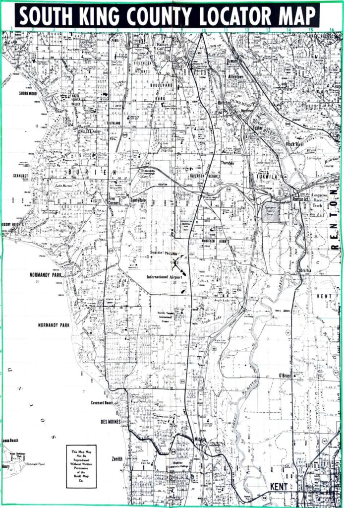
South King County Locator Map published by Kroll Map Co. showing roads, neighborhoods, schools, waterways, and landmarks across South King County, Washington. Coverage includes Burien, Seahurst, Normandy Park, Des Moines, Tukwila, Renton, SeaTac, and Kent, with Seattle-Tacoma International Airport (labeled as Seattle-Tacoma International Airport) prominently featured. Map depicts the Duwamish River, Black River, Green River, Angle Lake, Lake Burien, Riverton Heights, McMicken Heights, Boulevard Park, Southland, Chelsea Park, Five Corners, Sunnydale, Zenith, Midway, and O’Brien. Grid coordinates and street address numbers are shown. Kroll Map Co. copyright notice states map may not be reproduced without written permission.