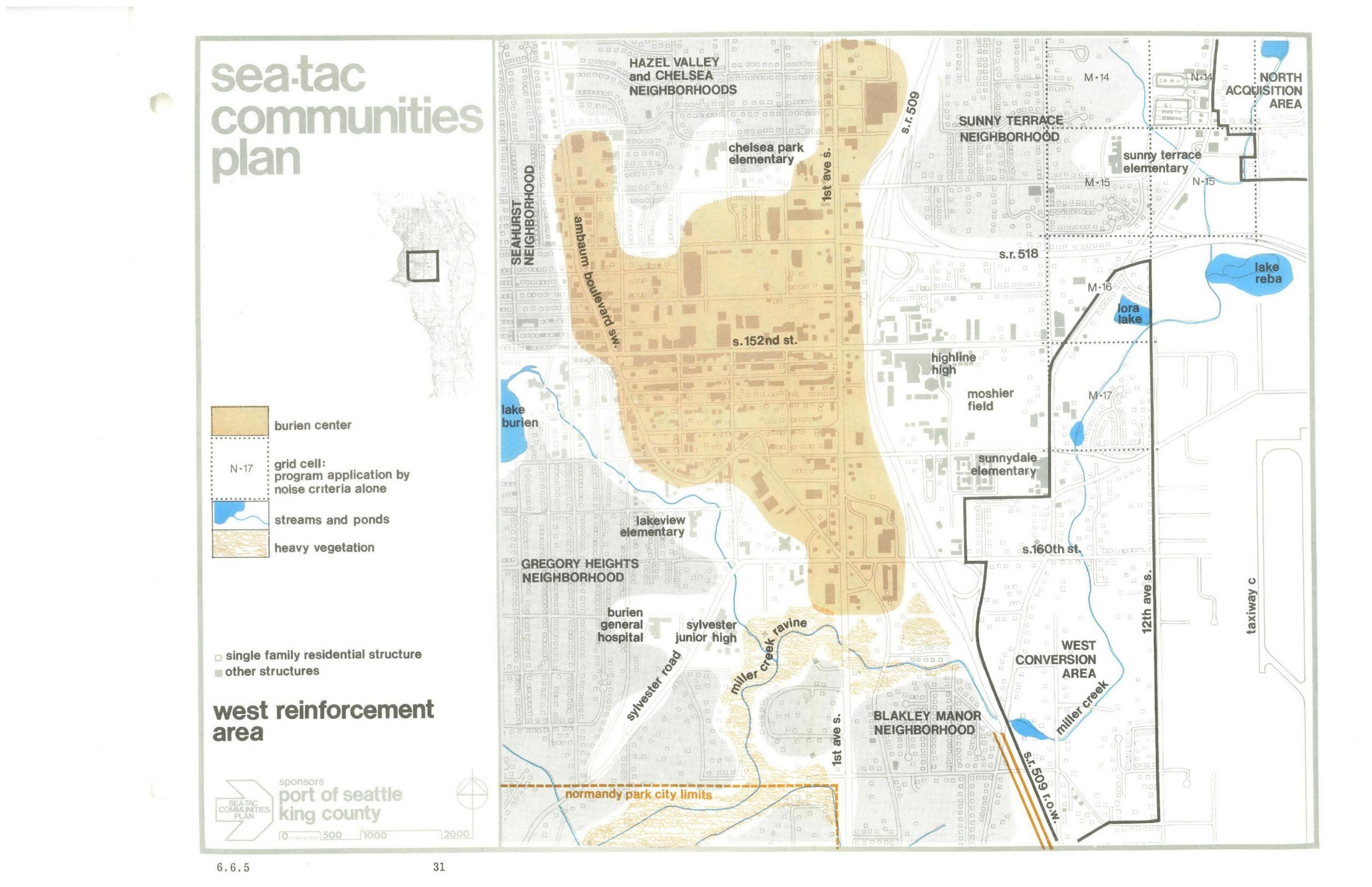
A planning map from the Sea-Tac Communities Plan, sponsored by the Port of Seattle and King County, depicting the West Reinforcement Area including the Burien Center, surrounding neighborhoods (Seahurst, Hazel Valley, Chelsea, Gregory Heights, Sunny Terrace, Blakley Manor), schools, waterways, and adjacent land-use zones such as the North Acquisition Area and West Conversion Area. The map uses color coding and grid cells to indicate noise-based program application areas, streams, ponds, and heavy vegetation, with key landmarks including Highline High School, Lake Burien, and S.R. 518.Open full document
Notes
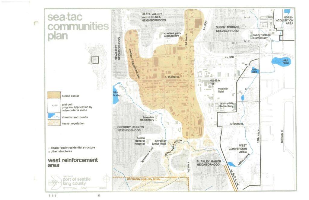
A planning map from the Sea-Tac Communities Plan, sponsored by the Port of Seattle and King County, depicting the West Reinforcement Area including the Burien Center, surrounding neighborhoods (Seahurst, Hazel Valley, Chelsea, Gregory Heights, Sunny Terrace, Blakley Manor), schools, waterways, and adjacent land-use zones such as the North Acquisition Area and West Conversion Area. The map uses color coding and grid cells to indicate noise-based program application areas, streams, ponds, and heavy vegetation, with key landmarks including Highline High School, Lake Burien, and S.R. 518.