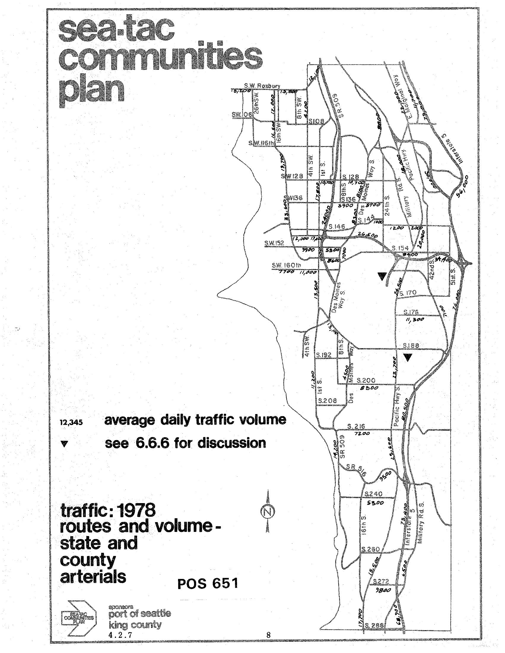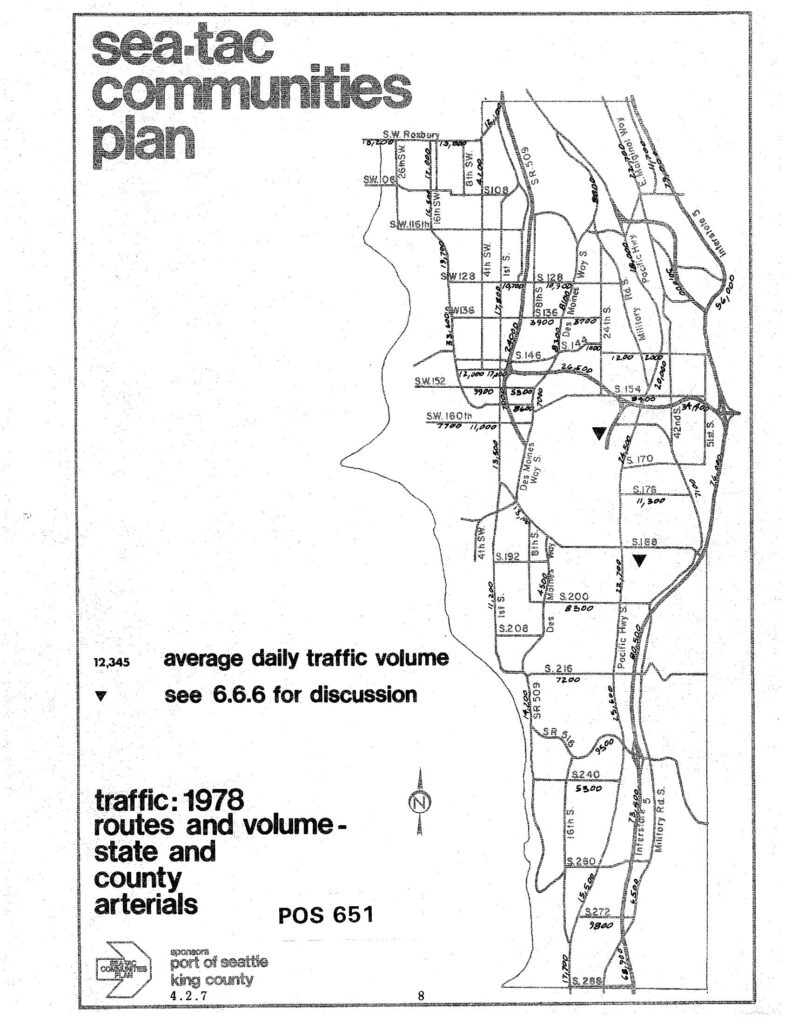
A traffic map from the Sea-Tac Communities Plan (document reference POS 651, section 4.2.7) showing 1978 average daily traffic volumes on state and county arterials in the Sea-Tac area. The map was sponsored by the Port of Seattle and King County, and displays traffic counts on major roads including SR 509, Pacific Highway S, Military Road, and various numbered streets (SW 128th through S 272nd).Open full document
Notes
A traffic map from the Sea-Tac Communities Plan (document reference POS 651, section 4.2.7) showing 1978 average daily traffic volumes on state and county arterials in the Sea-Tac area. The map was sponsored by the Port of Seattle and King County, and displays traffic counts on major roads including SR 509, Pacific Highway S, Military Road, and various numbered streets (SW 128th through S 272nd).