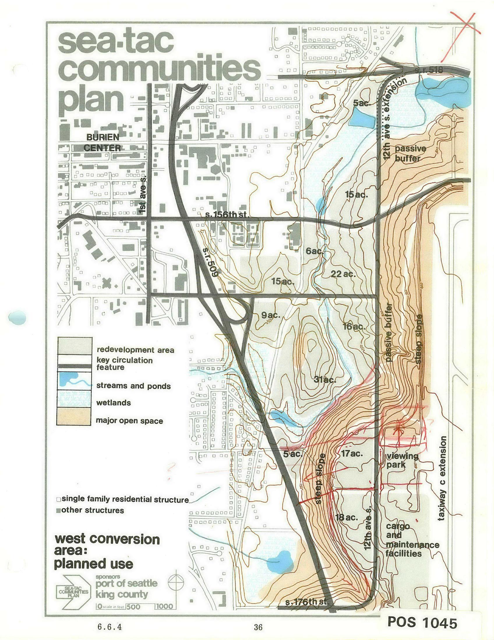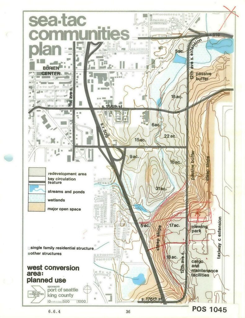
This is page 36 of the Sea-Tac Communities Plan, document reference POS 1045, map section 6.6.4, titled 'West Conversion Area: Planned Use.' Sponsored by the Port of Seattle and King County, the map shows planned land uses adjacent to Seattle-Tacoma International Airport including redevelopment areas, streams and wetlands, major open space, passive buffers, steep slopes, a proposed viewing park, cargo and maintenance facilities, and a taxiway C extension, with acreages labeled throughout the study area near Burien Center and S. 156th–S. 176th Streets.Open full document
Notes
This is page 36 of the Sea-Tac Communities Plan, document reference POS 1045, map section 6.6.4, titled ‘West Conversion Area: Planned Use.’ Sponsored by the Port of Seattle and King County, the map shows planned land uses adjacent to Seattle-Tacoma International Airport including redevelopment areas, streams and wetlands, major open space, passive buffers, steep slopes, a proposed viewing park, cargo and maintenance facilities, and a taxiway C extension, with acreages labeled throughout the study area near Burien Center and S. 156th–S. 176th Streets.