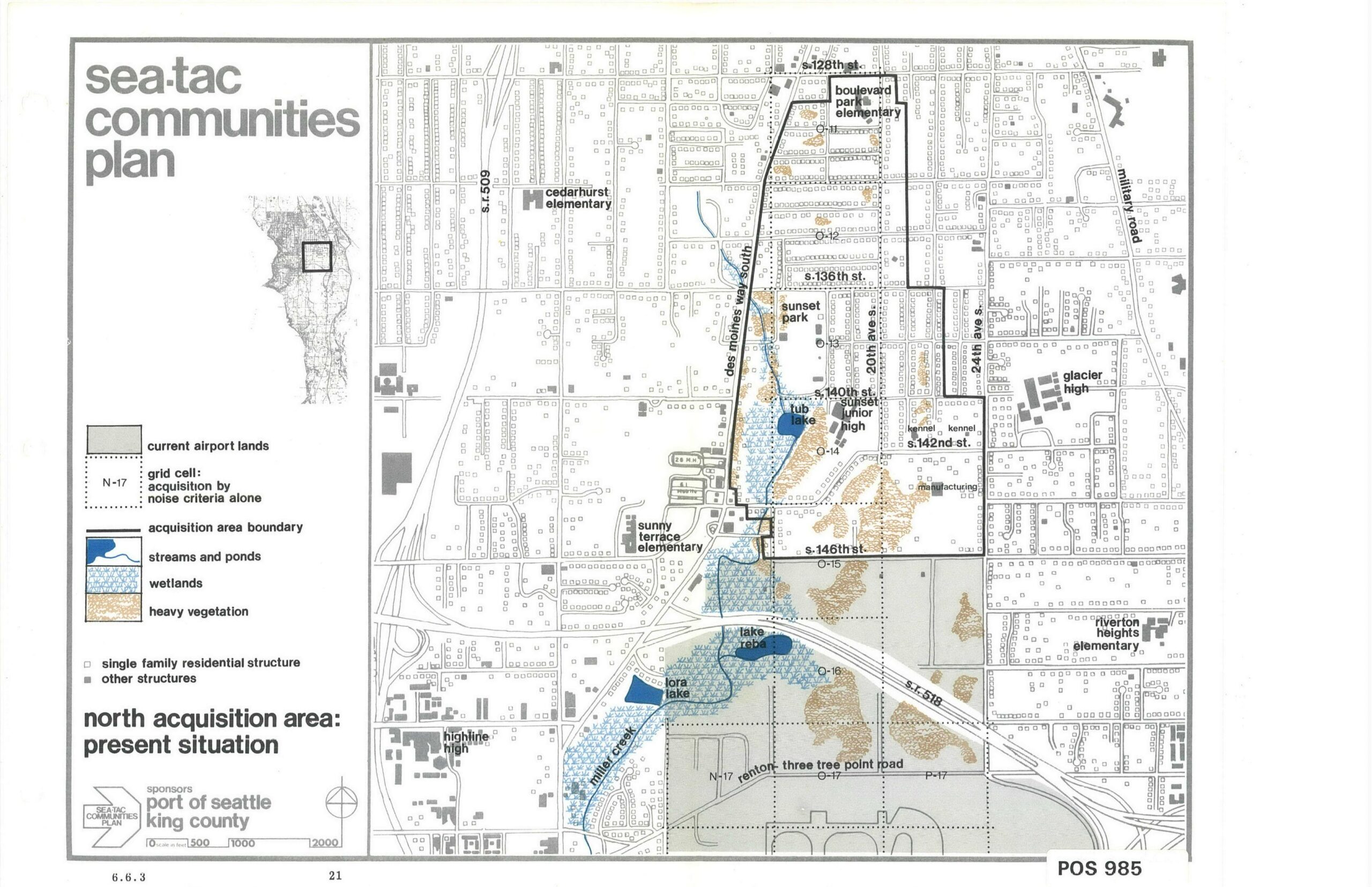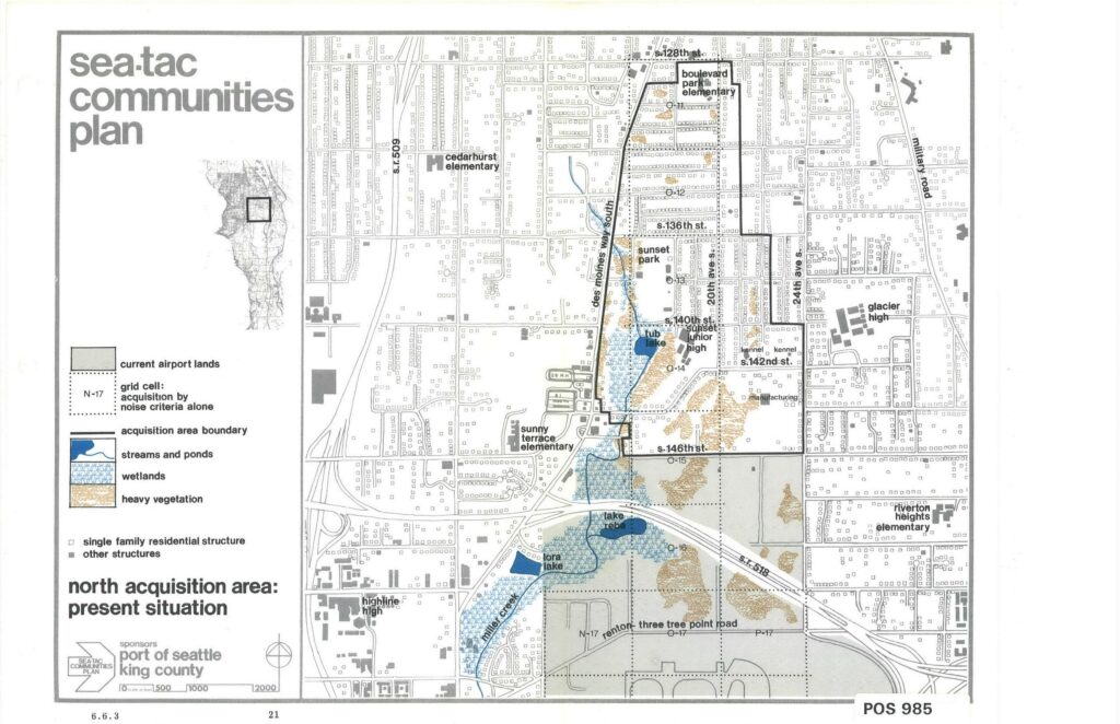
This map, labeled page 21 and document reference POS 985, is from the Sea-Tac Communities Plan sponsored by the Port of Seattle and King County. It depicts the north acquisition area around Sea-Tac Airport, showing current airport lands, acquisition area boundaries, wetlands, streams, heavy vegetation, and residential structures, with landmarks including Boulevard Park Elementary, Sunset Junior High, Glacier High, Highline High, and streets such as S. 128th St. through S. 146th St.Open full document
Notes
This map, labeled page 21 and document reference POS 985, is from the Sea-Tac Communities Plan sponsored by the Port of Seattle and King County. It depicts the north acquisition area around Sea-Tac Airport, showing current airport lands, acquisition area boundaries, wetlands, streams, heavy vegetation, and residential structures, with landmarks including Boulevard Park Elementary, Sunset Junior High, Glacier High, Highline High, and streets such as S. 128th St. through S. 146th St.