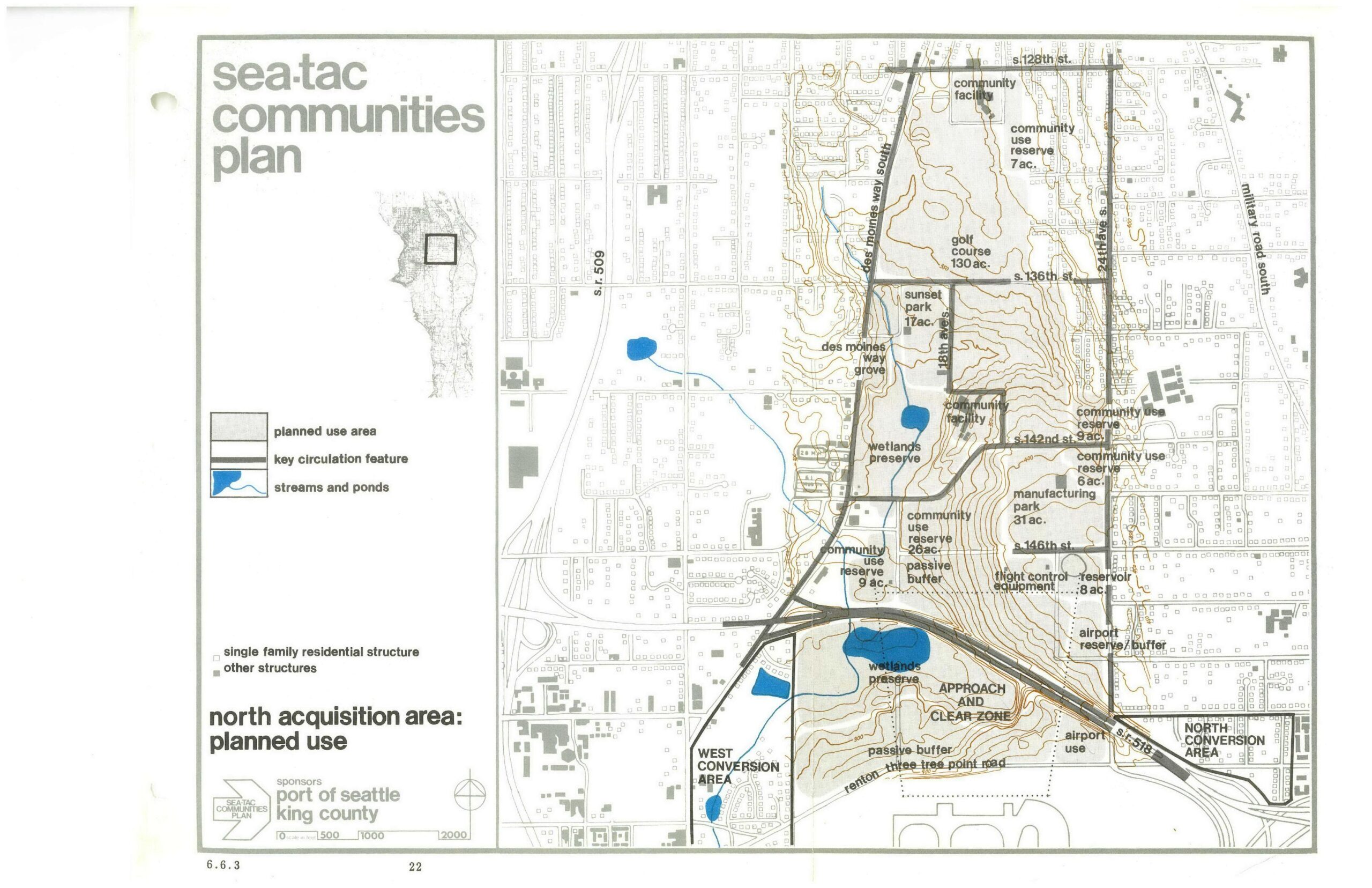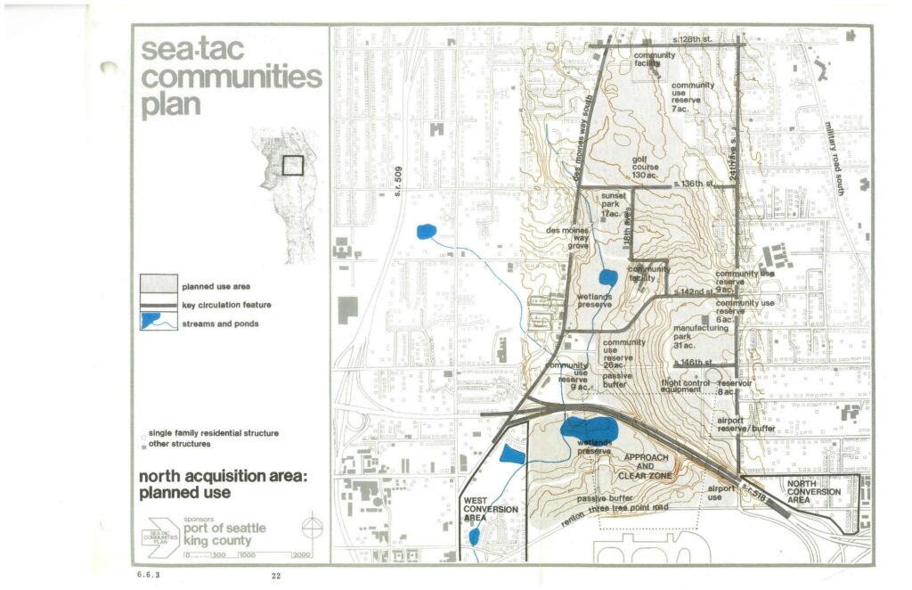
A land-use planning map from the Sea-Tac Communities Plan, sponsored by the Port of Seattle and King County, showing the North Acquisition Area's planned uses including wetlands preserves, community use reserves, a golf course (130 ac.), Sunset Park (17 ac.), manufacturing park (31 ac.), passive buffers, flight control equipment area, airport reserve/buffer, and approach and clear zone designations. Key streets visible include S. 128th St., S. 136th St., S. 142nd St., S. 146th St., Des Moines Way South, 24th Ave. S., and Military Road South.Open full document
Notes
A land-use planning map from the Sea-Tac Communities Plan, sponsored by the Port of Seattle and King County, showing the North Acquisition Area’s planned uses including wetlands preserves, community use reserves, a golf course (130 ac.), Sunset Park (17 ac.), manufacturing park (31 ac.), passive buffers, flight control equipment area, airport reserve/buffer, and approach and clear zone designations. Key streets visible include S. 128th St., S. 136th St., S. 142nd St., S. 146th St., Des Moines Way South, 24th Ave. S., and Military Road South.