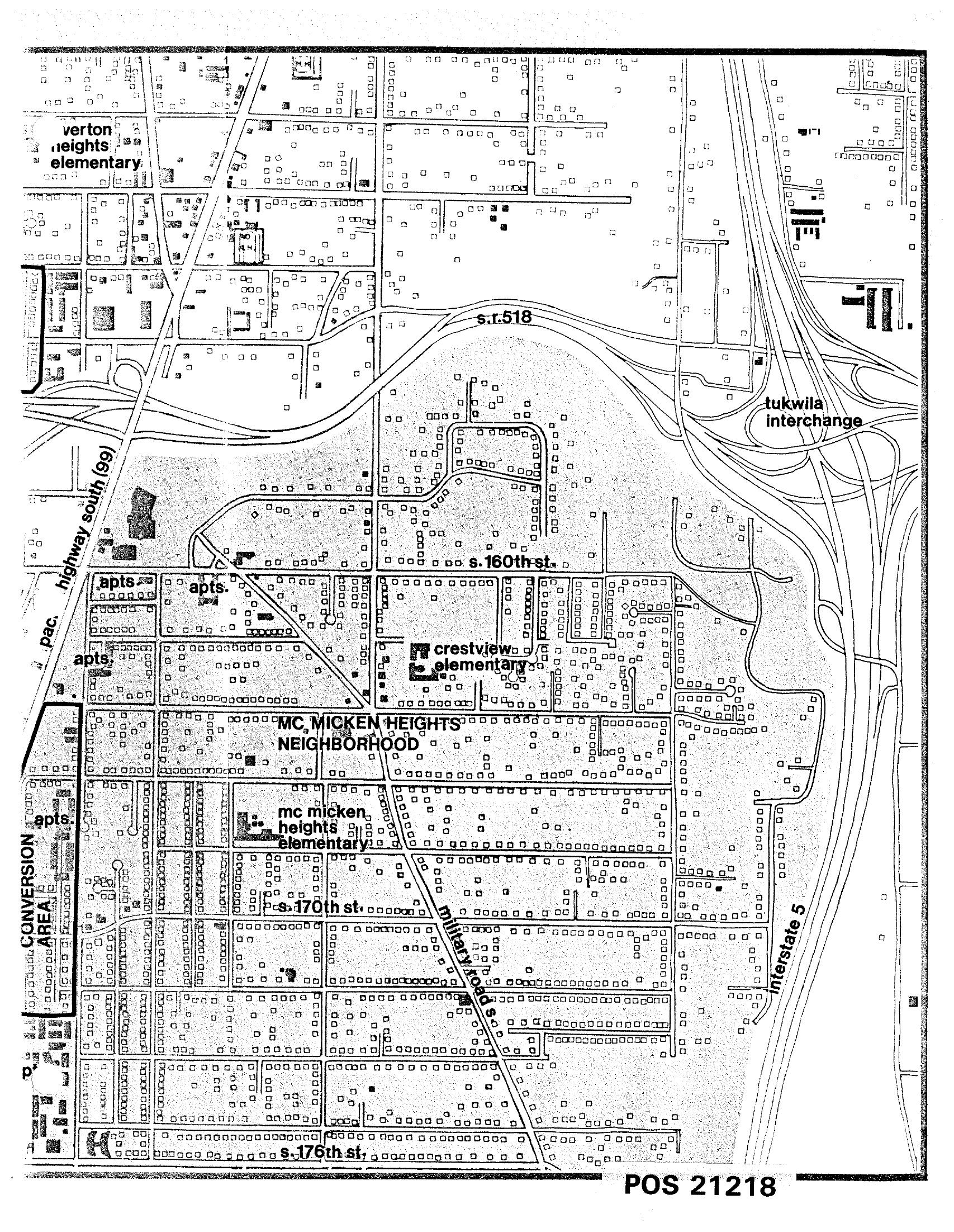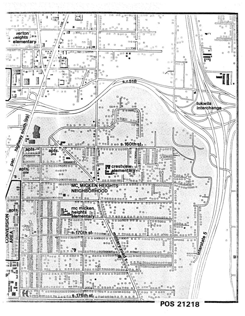
A detailed land-use map labeled POS 21218 depicting the McMicken Heights Neighborhood in the Sea-Tac/Tukwila area, showing streets including S. 160th St., S. 170th St., S. 176th St., Highway 99 (Pacific Highway South), Interstate 5, and S.R. 518, along with landmarks such as Crestview Elementary, McMicken Heights Elementary, Verton Heights Elementary, the Tukwila Interchange, and a designated Conversion Area with apartment complexes. The map appears to be part of a noise or land-use planning document related to Sea-Tac Airport.Open full document
Notes
A detailed land-use map labeled POS 21218 depicting the McMicken Heights Neighborhood in the Sea-Tac/Tukwila area, showing streets including S. 160th St., S. 170th St., S. 176th St., Highway 99 (Pacific Highway South), Interstate 5, and S.R. 518, along with landmarks such as Crestview Elementary, McMicken Heights Elementary, Verton Heights Elementary, the Tukwila Interchange, and a designated Conversion Area with apartment complexes. The map appears to be part of a noise or land-use planning document related to Sea-Tac Airport.