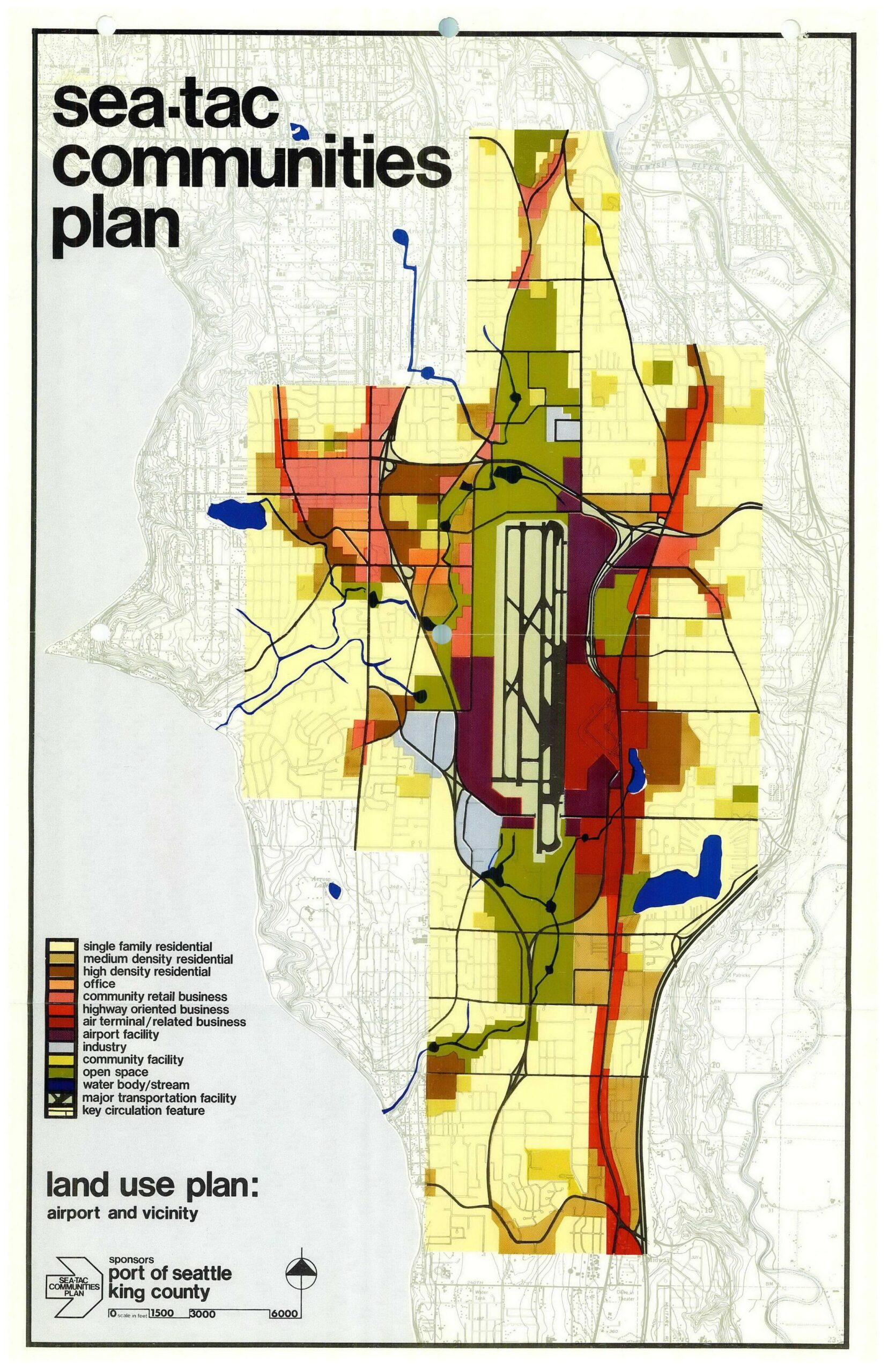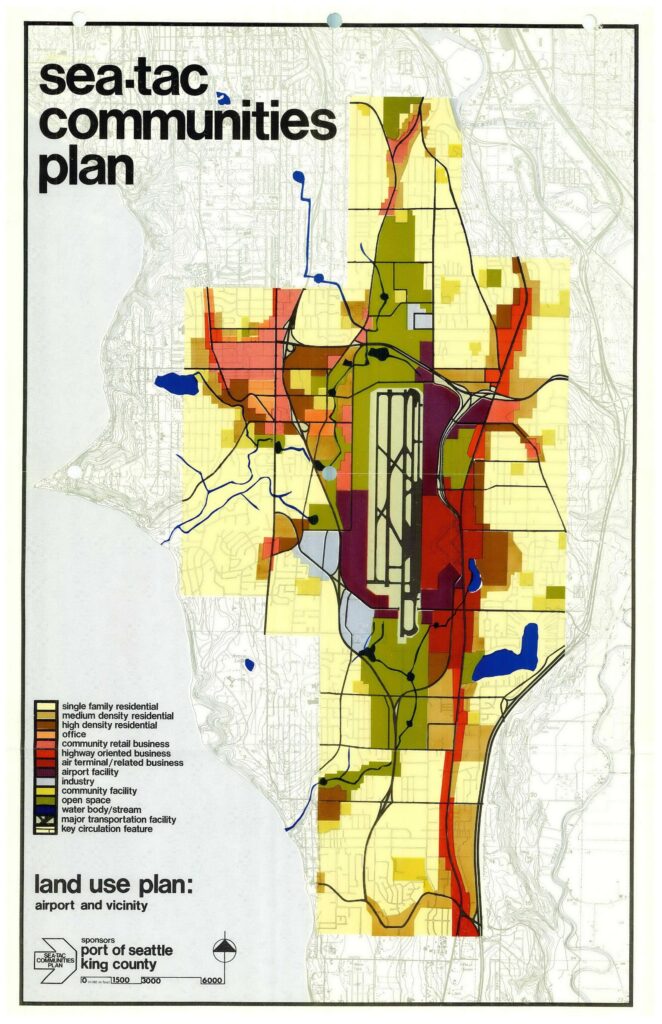
A color-coded land use planning map titled 'Sea-Tac Communities Plan,' subtitled 'Land Use Plan: Airport and Vicinity,' sponsored by the Port of Seattle and King County. The map depicts zoning categories including single-family residential, high-density residential, highway-oriented business, air terminal/related business, airport facility, open space, and water bodies in the Sea-Tac airport area.Open full document
Notes
A color-coded land use planning map titled ‘Sea-Tac Communities Plan,’ subtitled ‘Land Use Plan: Airport and Vicinity,’ sponsored by the Port of Seattle and King County. The map depicts zoning categories including single-family residential, high-density residential, highway-oriented business, air terminal/related business, airport facility, open space, and water bodies in the Sea-Tac airport area.