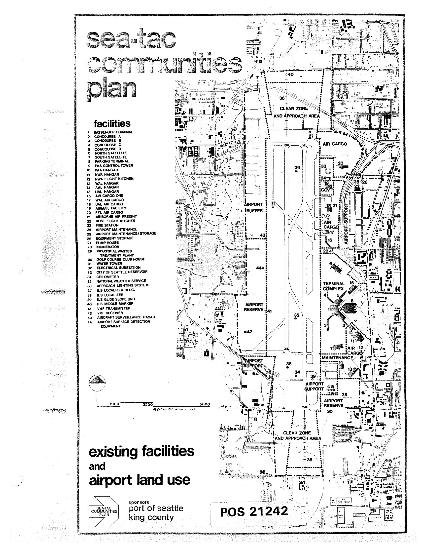
A planning map titled 'Sea-Tac Communities Plan' showing existing facilities and airport land use at Seattle-Tacoma International Airport, numbered 1–44 with a detailed legend identifying structures such as the Passenger Terminal, concourses, hangars, cargo facilities, navigation aids, and support buildings. The document is identified as POS 21242 and was sponsored by the Port of Seattle and King County.Open full document
Notes
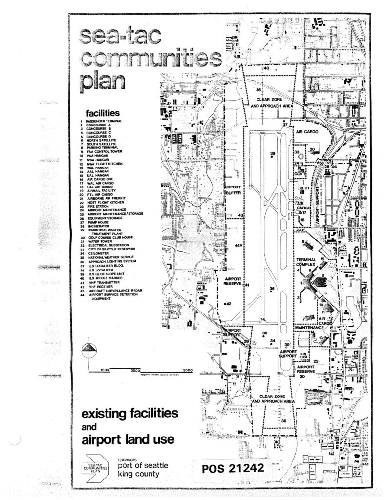
A planning map titled ‘Sea-Tac Communities Plan’ showing existing facilities and airport land use at Seattle-Tacoma International Airport, numbered 1–44 with a detailed legend identifying structures such as the Passenger Terminal, concourses, hangars, cargo facilities, navigation aids, and support buildings. The document is identified as POS 21242 and was sponsored by the Port of Seattle and King County.