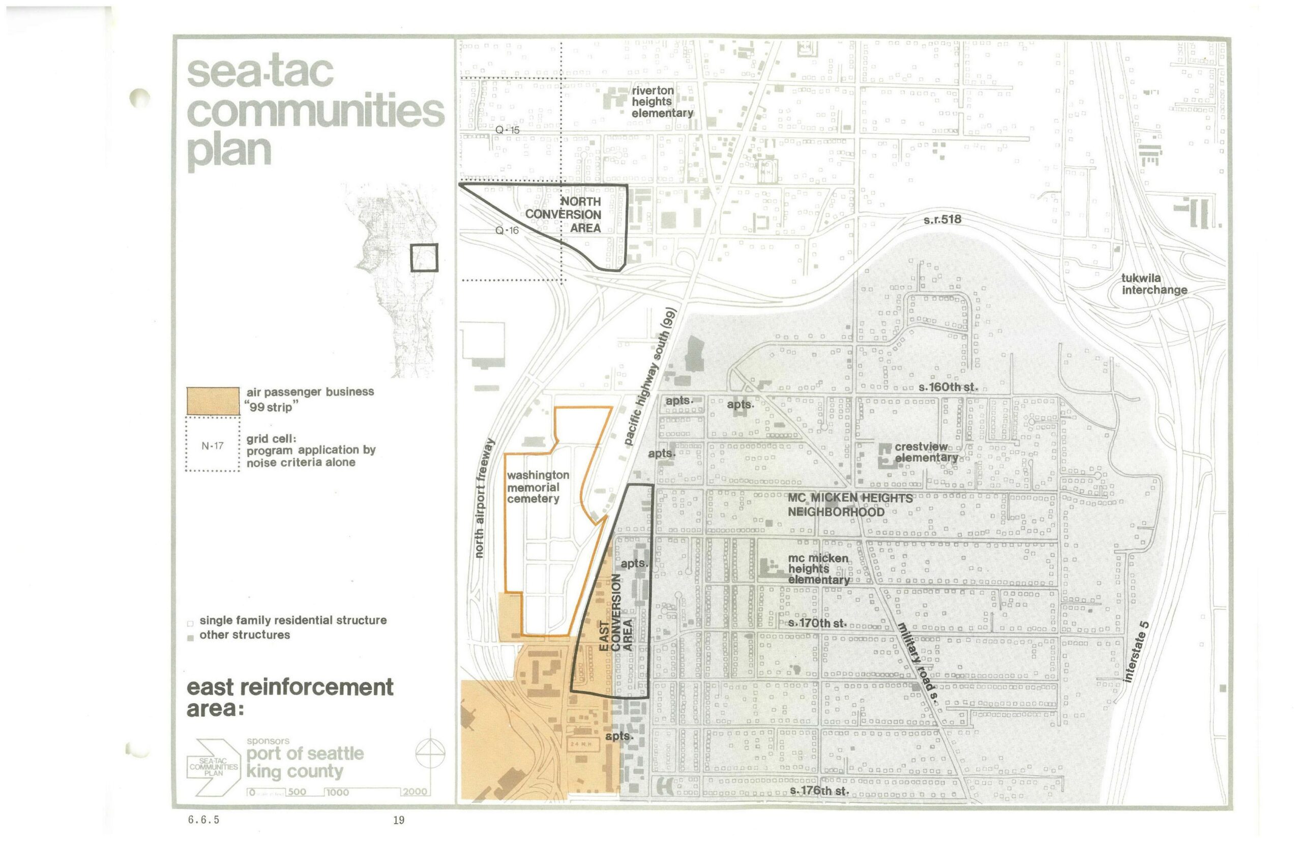
A planning map from the Sea-Tac Communities Plan, sponsored by the Port of Seattle and King County, depicting the East Reinforcement Area near Seattle-Tacoma International Airport. The map identifies the North and East Conversion Areas, the Washington Memorial Cemetery, McMicken Heights Neighborhood, Pacific Highway South (SR-99), the North Airport Freeway, Interstate 5, SR-518, and the Tukwila Interchange, with land-use designations including air passenger business '99 strip' and grid cells subject to noise criteria.Open full document
Notes
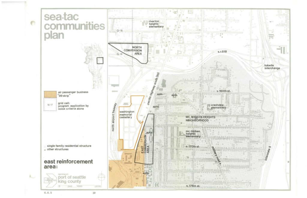
A planning map from the Sea-Tac Communities Plan, sponsored by the Port of Seattle and King County, depicting the East Reinforcement Area near Seattle-Tacoma International Airport. The map identifies the North and East Conversion Areas, the Washington Memorial Cemetery, McMicken Heights Neighborhood, Pacific Highway South (SR-99), the North Airport Freeway, Interstate 5, SR-518, and the Tukwila Interchange, with land-use designations including air passenger business ’99 strip’ and grid cells subject to noise criteria.