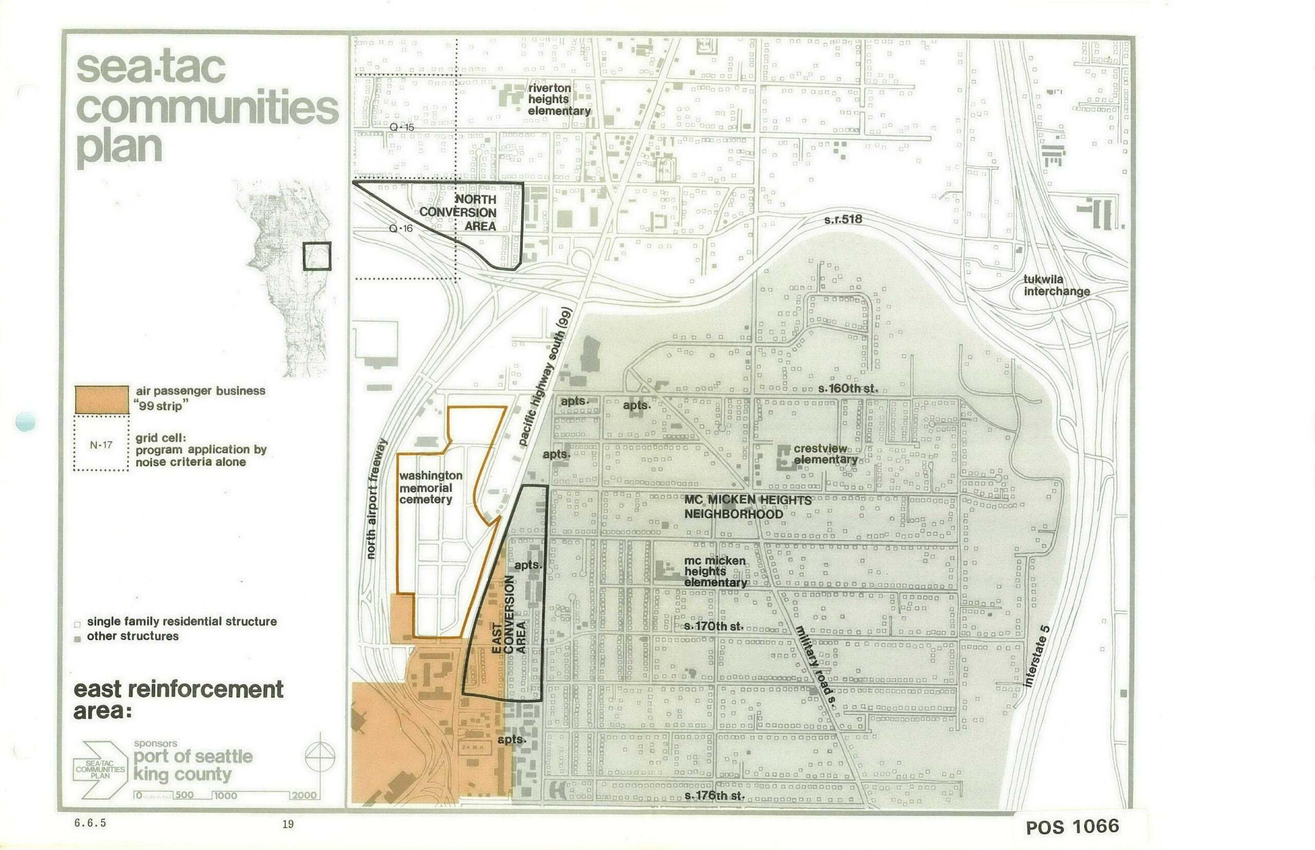
Planning map (document number POS 1066, page 19, section 6.6.5) from the Sea-Tac Communities Plan, sponsored by the Port of Seattle and King County, depicting the East Reinforcement Area near Sea-Tac Airport. The map identifies the North and East Conversion Areas, the McMicken Heights Neighborhood, Washington Memorial Cemetery, Pacific Highway South (SR 99), the North Airport Freeway, and surrounding elementary schools, with a legend distinguishing air passenger business '99 strip' zones and grid cells subject to noise criteria.Open full document
Notes
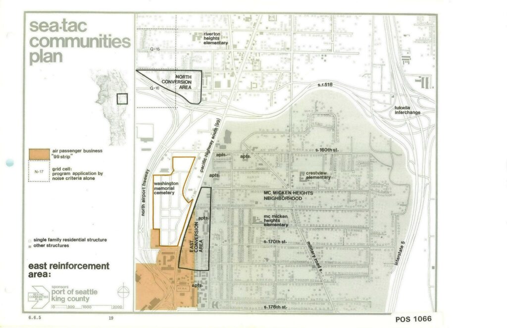
Planning map (document number POS 1066, page 19, section 6.6.5) from the Sea-Tac Communities Plan, sponsored by the Port of Seattle and King County, depicting the East Reinforcement Area near Sea-Tac Airport. The map identifies the North and East Conversion Areas, the McMicken Heights Neighborhood, Washington Memorial Cemetery, Pacific Highway South (SR 99), the North Airport Freeway, and surrounding elementary schools, with a legend distinguishing air passenger business ’99 strip’ zones and grid cells subject to noise criteria.