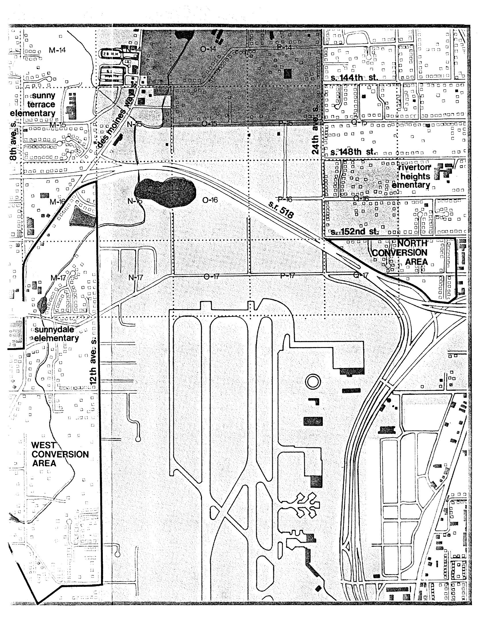
A planning grid map of the area surrounding Seattle-Tacoma International Airport, showing labeled grid cells (M through Q, rows 14–17), street names including S. 144th St., S. 148th St., S. 152nd St., 8th Ave. S., 12th Ave. S., and 24th Ave. S., State Route 518, and Des Moines Way. The map identifies 'North Conversion Area' and 'West Conversion Area,' along with nearby elementary schools (Sunny Terrace, Riverton Heights, Sunnydale), consistent with noise impact and land-use conversion planning documents for the Sea-Tac Airport noise policy archive.Open full document
Notes
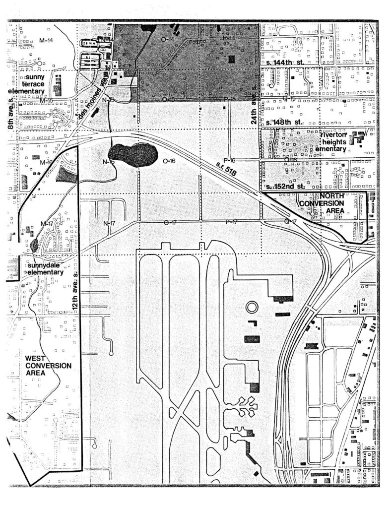
A planning grid map of the area surrounding Seattle-Tacoma International Airport, showing labeled grid cells (M through Q, rows 14–17), street names including S. 144th St., S. 148th St., S. 152nd St., 8th Ave. S., 12th Ave. S., and 24th Ave. S., State Route 518, and Des Moines Way. The map identifies ‘North Conversion Area’ and ‘West Conversion Area,’ along with nearby elementary schools (Sunny Terrace, Riverton Heights, Sunnydale), consistent with noise impact and land-use conversion planning documents for the Sea-Tac Airport noise policy archive.