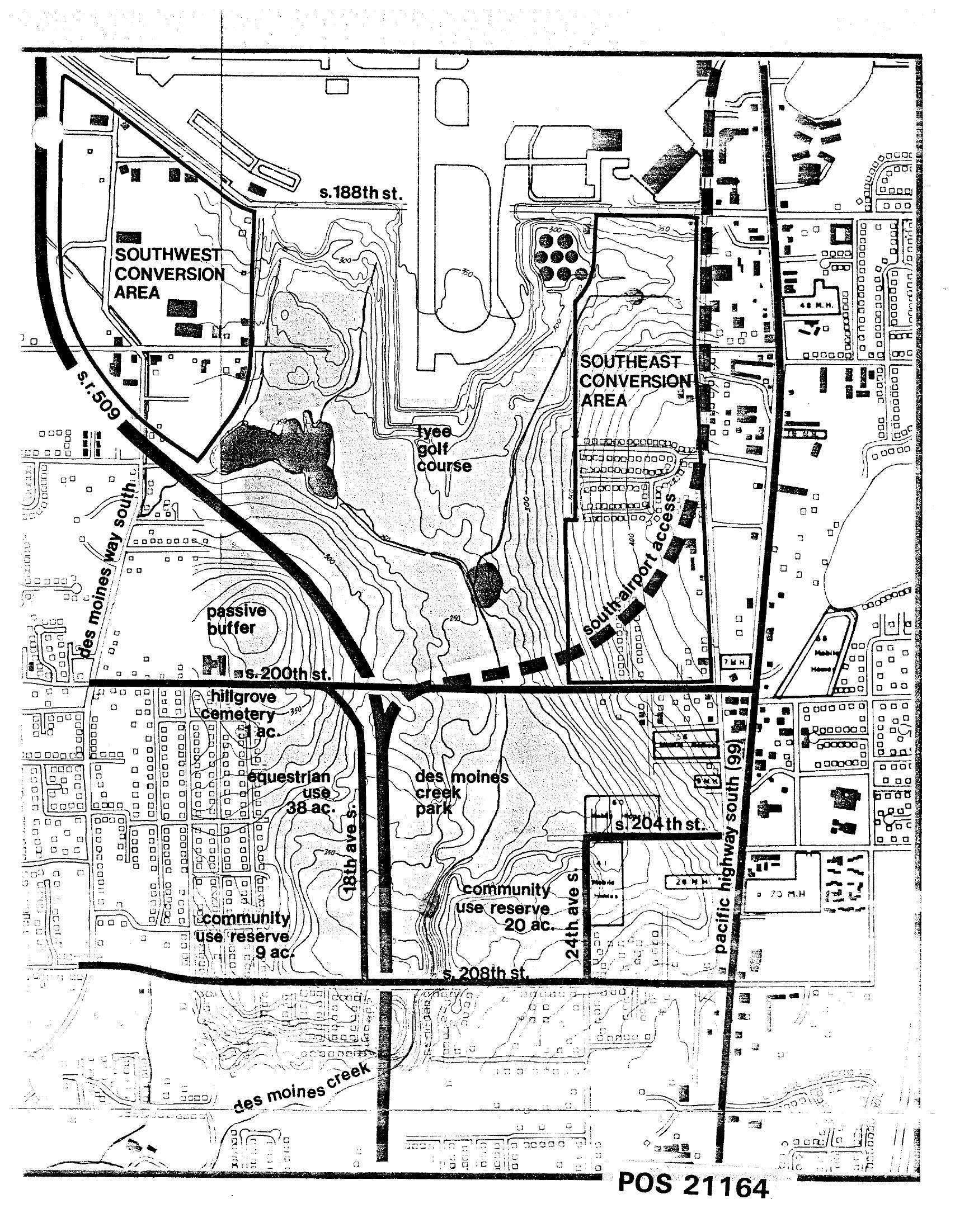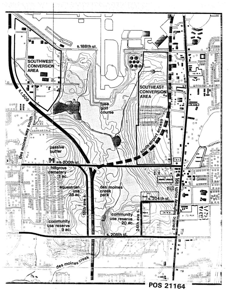
Map labeled POS 21164 depicting land use planning zones around Seattle-Tacoma International Airport, including the Southwest Conversion Area, Southeast Conversion Area, Tyee Golf Course, Hillgrove Cemetery, Des Moines Creek Park, passive buffer zones, equestrian use areas, and community use reserves. Key roads shown include S.R. 509, Des Moines Way South, Pacific Highway South (99), and streets S. 188th, S. 200th, S. 204th, and S. 208th.Open full document
Notes
Map labeled POS 21164 depicting land use planning zones around Seattle-Tacoma International Airport, including the Southwest Conversion Area, Southeast Conversion Area, Tyee Golf Course, Hillgrove Cemetery, Des Moines Creek Park, passive buffer zones, equestrian use areas, and community use reserves. Key roads shown include S.R. 509, Des Moines Way South, Pacific Highway South (99), and streets S. 188th, S. 200th, S. 204th, and S. 208th.