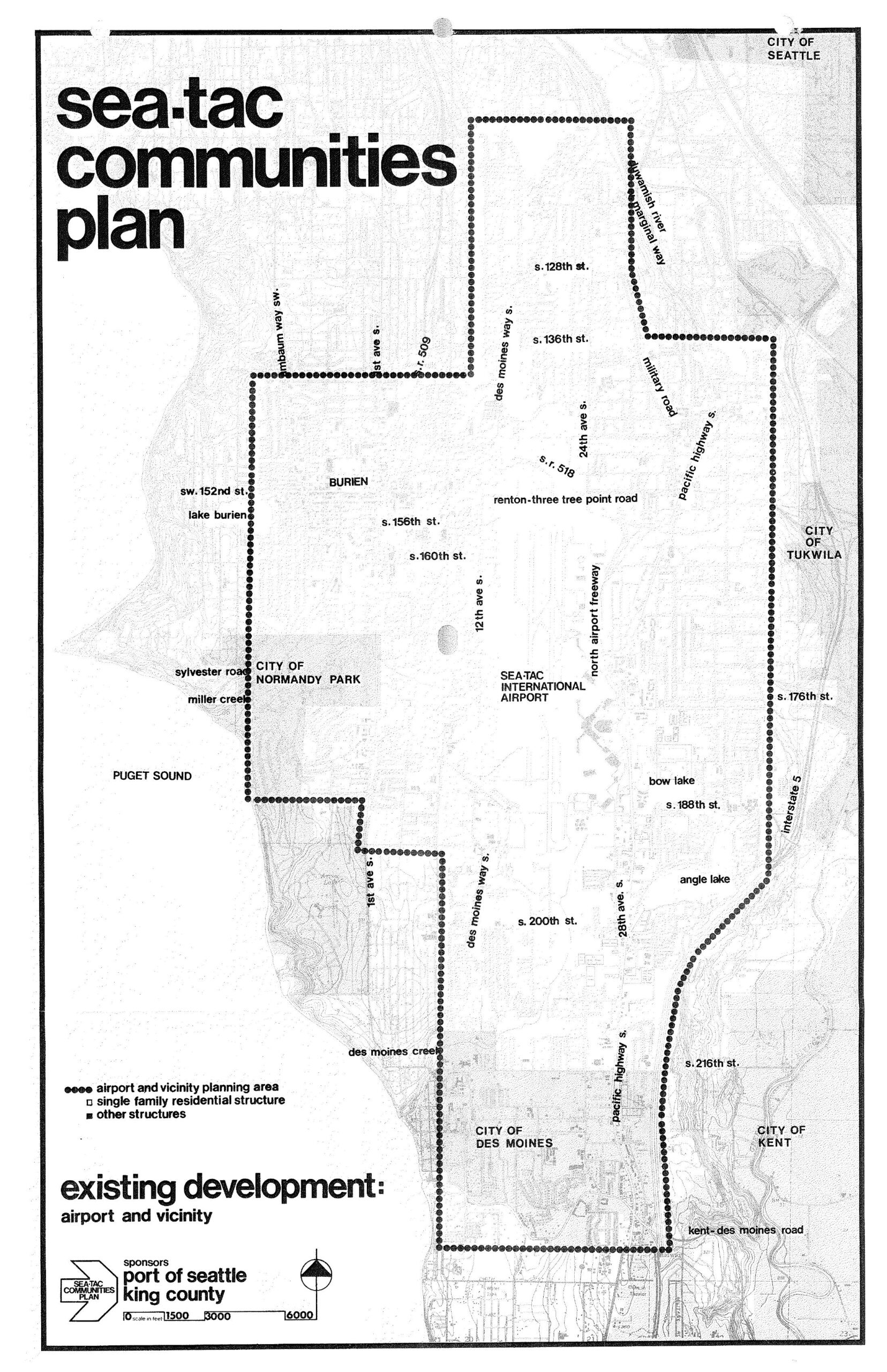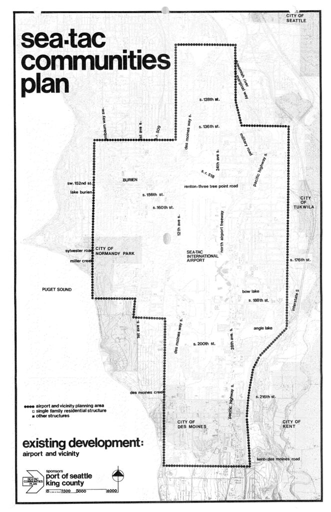
A planning map produced by the Port of Seattle and King County as part of the Sea-Tac Communities Plan, showing the airport and vicinity planning area boundary (marked by dotted lines) surrounding Seattle-Tacoma International Airport. The map identifies surrounding jurisdictions including the City of Seattle, City of Tukwila, City of Normandy Park, City of Des Moines, City of Kent, and Burien, along with key roads, Interstate 5, and geographic features such as Puget Sound, Bow Lake, Angle Lake, and Miller Creek.Open full document
Notes
A planning map produced by the Port of Seattle and King County as part of the Sea-Tac Communities Plan, showing the airport and vicinity planning area boundary (marked by dotted lines) surrounding Seattle-Tacoma International Airport. The map identifies surrounding jurisdictions including the City of Seattle, City of Tukwila, City of Normandy Park, City of Des Moines, City of Kent, and Burien, along with key roads, Interstate 5, and geographic features such as Puget Sound, Bow Lake, Angle Lake, and Miller Creek.