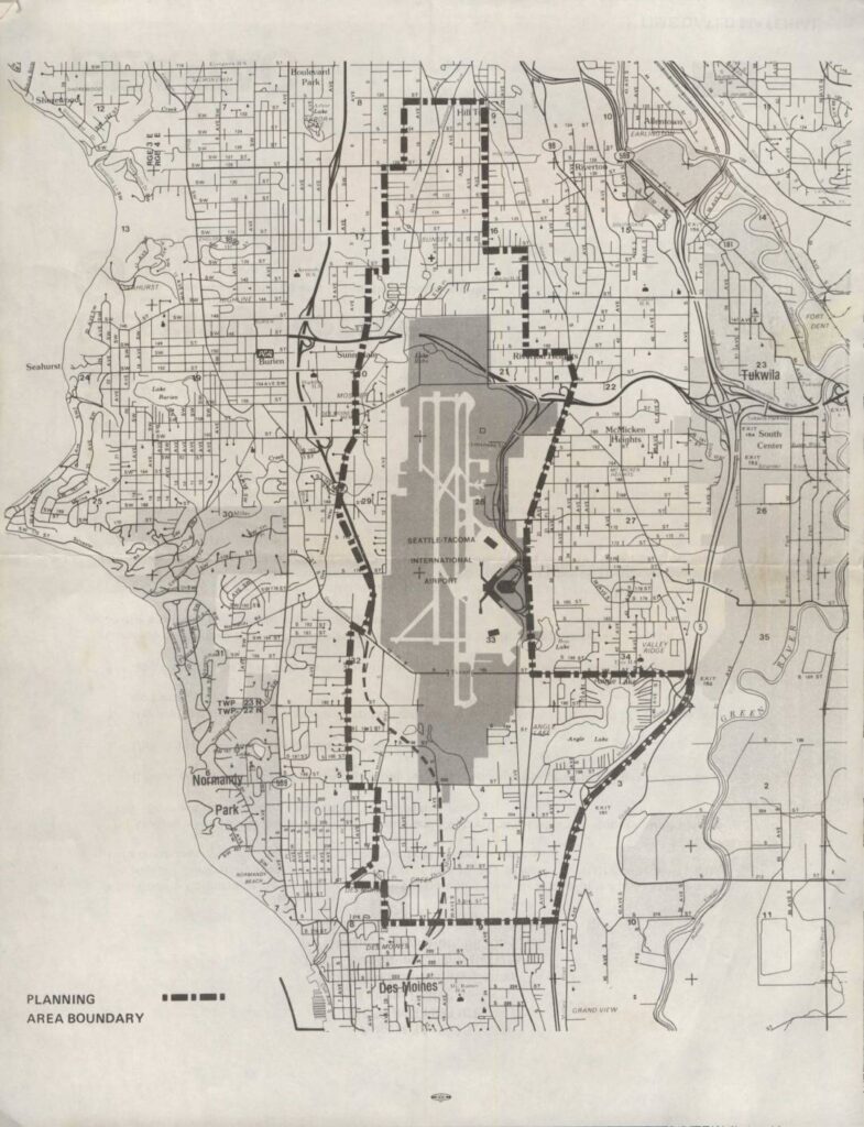
This map depicts the planning area boundary surrounding Seattle-Tacoma International Airport and its neighboring communities, including Burien, Normandy Park, Des Moines, Tukwila, and Riverton. The shaded region highlights the airport's footprint and immediate environs, while the dashed boundary line delineates the study area used for airport-related land use and noise planning purposes. The document appears to be part of an environmental or community planning effort assessing the impact of Sea-Tac Airport on surrounding residential and commercial areas.Open full document
Notes
A detailed map showing the planning area boundary for the Seattle-Tacoma International Airport region. The map covers surrounding communities including Burien, Normandy Park, Des Moines, Tukwila, and SeaTac, with the airport grounds highlighted in gray at the center. The planning area boundary is marked with a dashed line encircling the airport and adjacent neighborhoods.