Notes
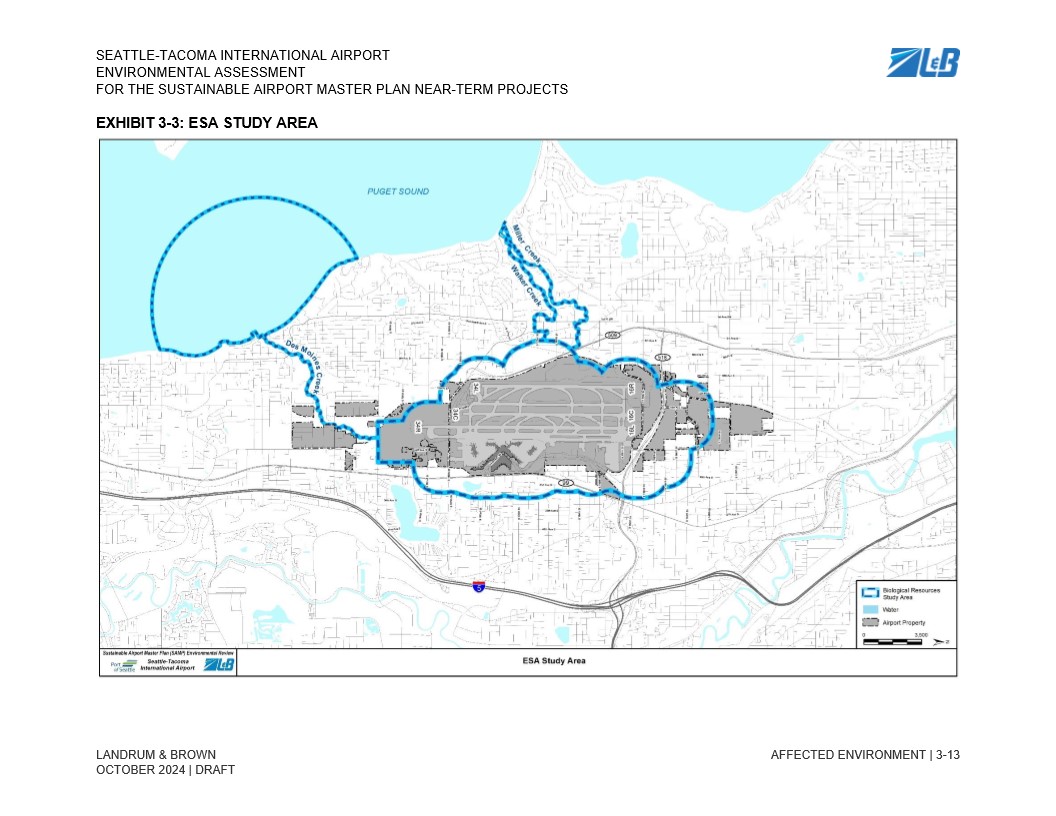
The APE. This map exhibit from the Seattle-Tacoma International Airport Environmental Assessment shows the Biological Resources Study Area (ESA Study Area) for the Sustainable Airport Master Plan near-term projects. The map depicts the airport property in gray, water features in light blue, and the biological resources study area boundary outlined in blue dashed lines. The study area extends to include portions of Puget Sound to the west and surrounding watersheds including Miller Creek and Walker Creek.