Notes
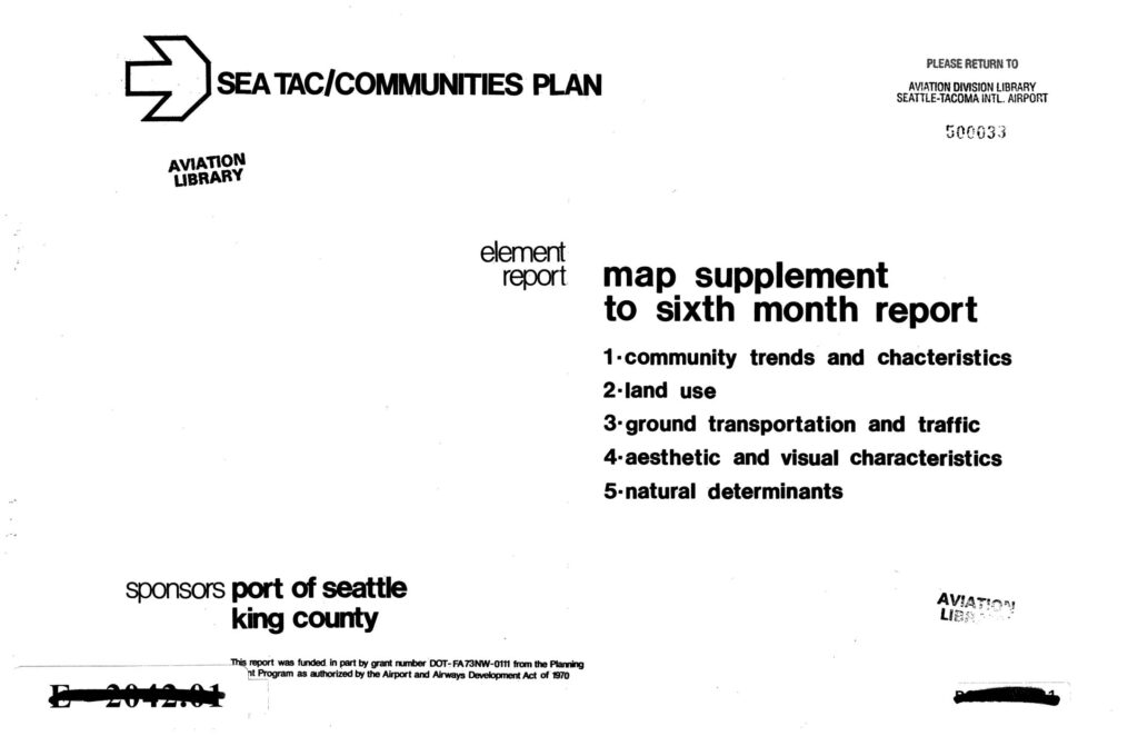
Map supplement to the sixth month report of the Sea-Tac Communities Plan (STCP), sponsored by Port Of Seattle and King County, funded in part by FAA grant DOT-FA73NW-0111 under the Airport and Airways Development Act of 1970. Contains five element maps covering: (1) community trends and characteristics, including census tract data on percent of persons receiving public assistance (with errata noting Census Tract 272 should be in the ‘2.5% and over’ category); (2) land use; (3) ground transportation and traffic; (4) aesthetic and visual characteristics; (5) natural determinants. Depicts 1970 census tracts for the Sea-Tac Airport area, including tracts 263–300, Puget Sound shoreline, and the Seattle-Tacoma International Airport footprint. Aviation Division Library catalog number 500033.