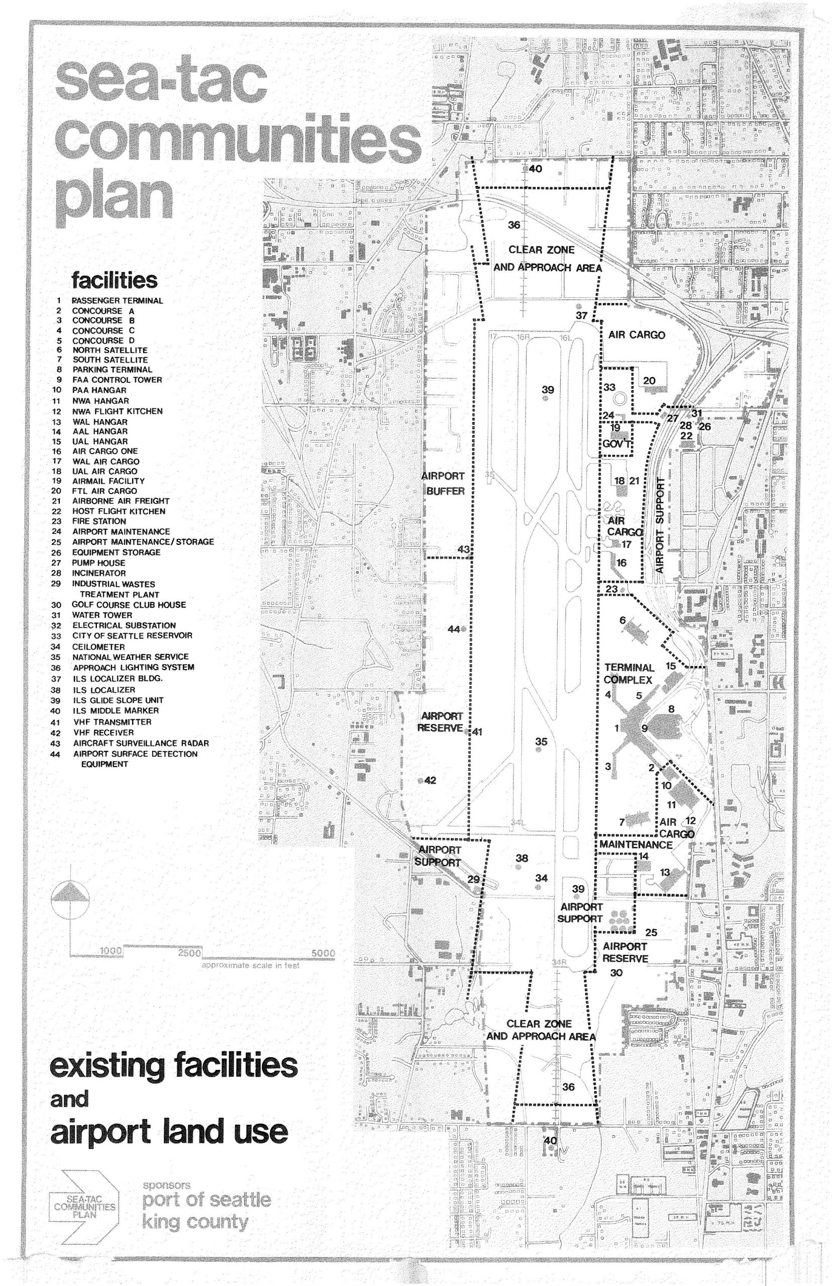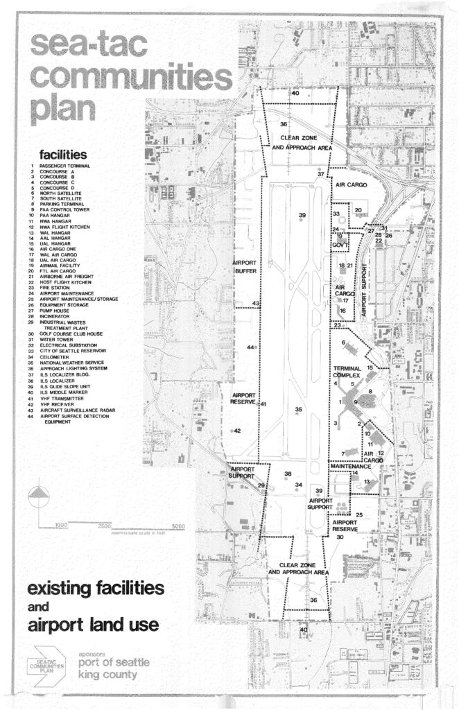
A detailed land-use map from the Sea-Tac Communities Plan, sponsored by the Port of Seattle and King County, showing existing facilities and airport land use zones at Seattle-Tacoma International Airport. The map identifies 44 numbered facilities including the passenger terminal, concourses, hangars, air cargo areas, ILS navigation equipment, clear zones, and approach areas, with zones labeled for Terminal Complex, Airport Support, Airport Reserve, and Airport Buffer.Open full document
Notes
A detailed land-use map from the Sea-Tac Communities Plan, sponsored by the Port of Seattle and King County, showing existing facilities and airport land use zones at Seattle-Tacoma International Airport. The map identifies 44 numbered facilities including the passenger terminal, concourses, hangars, air cargo areas, ILS navigation equipment, clear zones, and approach areas, with zones labeled for Terminal Complex, Airport Support, Airport Reserve, and Airport Buffer.