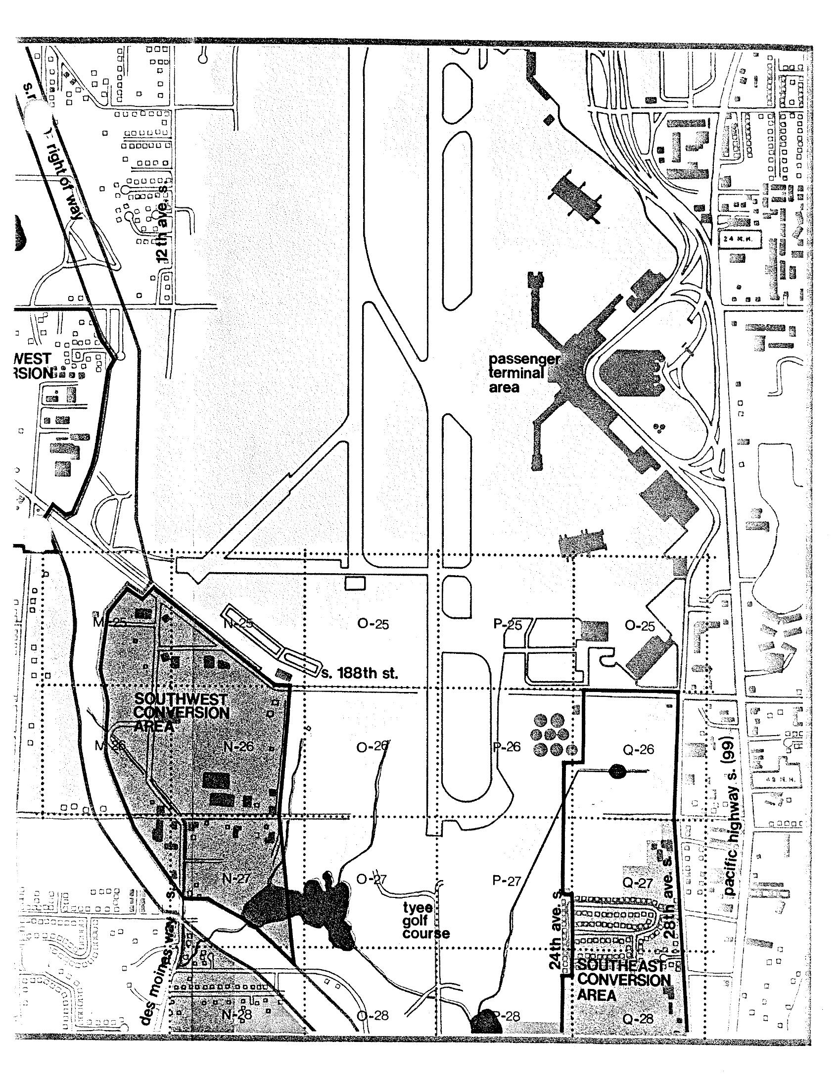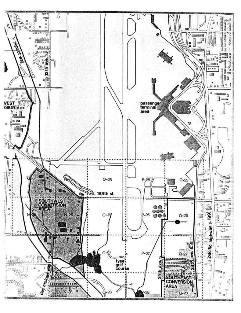
A planning map of Seattle-Tacoma International Airport and surrounding areas, showing the passenger terminal area, Southwest Conversion Area, Southeast Conversion Area, Tyee Golf Course, S. 188th St., Des Moines Way S., Pacific Highway S. (99), and a grid coordinate system (M through Q, rows 25–28). The map identifies land use conversion zones south of the airport runways near 24th Ave. S. and 28th Ave. S.Open full document
Notes
A planning map of Seattle-Tacoma International Airport and surrounding areas, showing the passenger terminal area, Southwest Conversion Area, Southeast Conversion Area, Tyee Golf Course, S. 188th St., Des Moines Way S., Pacific Highway S. (99), and a grid coordinate system (M through Q, rows 25–28). The map identifies land use conversion zones south of the airport runways near 24th Ave. S. and 28th Ave. S.