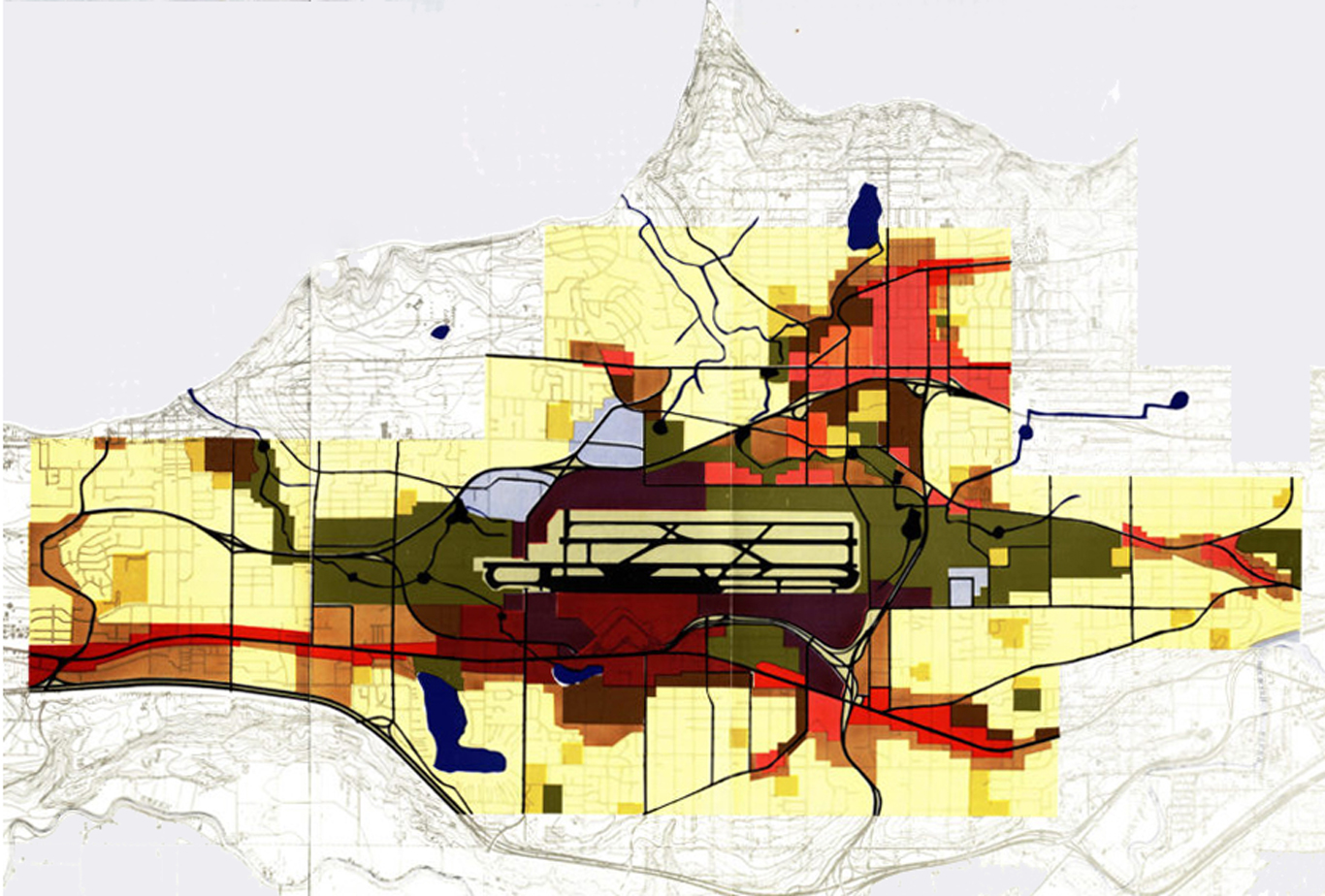
A color-coded planning map showing noise contour zones or land-use impact areas radiating from a central airport runway facility, depicted in shades of yellow, red, brown, and dark olive-green. Blue lines appear to represent waterways or transportation corridors, and bold black lines indicate road or grid infrastructure overlaid on a topographic base map.Open full document
Notes
A color-coded planning map showing noise contour zones or land-use impact areas radiating from a central airport runway facility, depicted in shades of yellow, red, brown, and dark olive-green. Blue lines appear to represent waterways or transportation corridors, and bold black lines indicate road or grid infrastructure overlaid on a topographic base map.