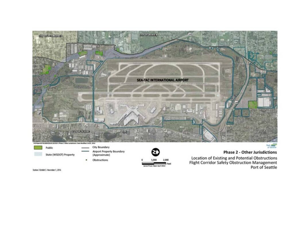
This map, prepared by the Port of Seattle, shows the location of existing and potential flight path obstructions around Seattle-Tacoma International Airport as part of a Flight Corridor Safety Obstruction Management study. It identifies public and state (WSDOT) properties, city boundaries for surrounding jurisdictions including Burien, Des Moines, and SeaTac, and the approximate airport property boundary. The document is part of Phase 2 of the study focusing on other jurisdictions outside the airport's direct control.Open full document
Notes
An aerial map produced by the Port of Seattle depicting Sea-Tac International Airport and surrounding jurisdictions including the cities of Burien, Des Moines, and SeaTac. The map shows the airport property boundary, public lands, State (WSDOT) property, and locations of existing and potential flight corridor obstructions. This is part of the Flight Corridor Safety Obstruction Management program, Phase 2.