Notes
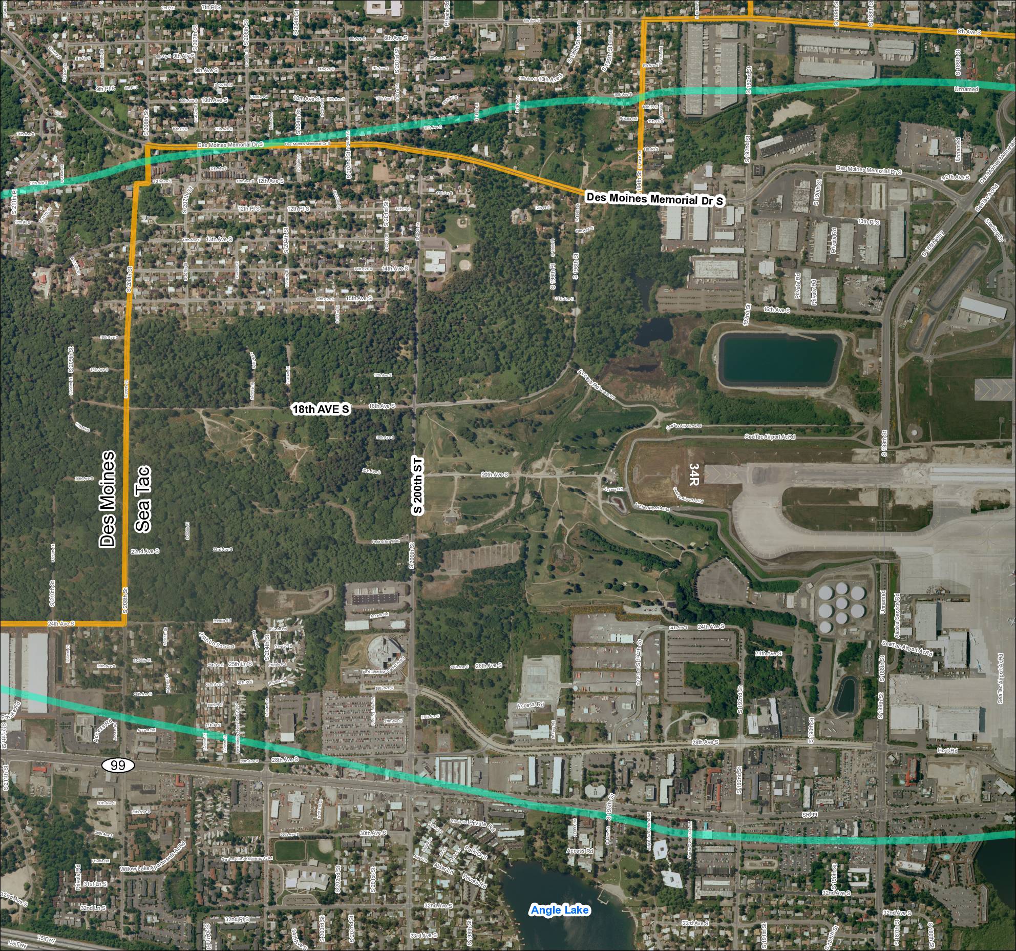
Aerial satellite map grid labeled ‘Grid2_2018’ showing the Des Moines and Sea-Tac boundary area in King County, Washington. Map depicts street network including Des Moines Memorial Dr S, S 200th St, 18th Ave S, SR 99, and I-5 Fwy, with Sea-Tac Airport runway 34R visible. Orange boundary line delineates the Des Moines / Sea-Tac city boundary. Teal lines indicate highway/transit corridors. Angle Lake labeled in lower portion. Relevant to Sea-Tac Airport vicinity mapping, STCP, and airport community planning.