Notes
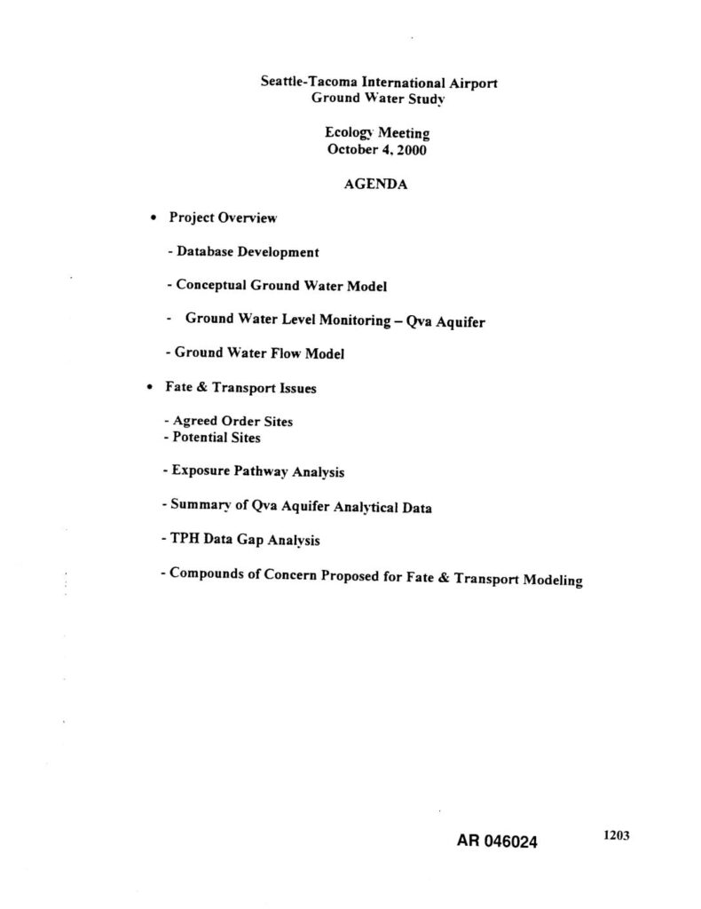
Agenda and presentation materials for the Seattle-Tacoma International Airport (STIA) Ground Water Study Ecology meeting held October 4, 2000, prepared by Associated Earth Sciences, Inc., S.S. Papadopulos and Associates, Inc., and EA Engineering, Science, and Technology for the Port Of Seattle. Topics include database development, conceptual ground water model, ground water level monitoring of the Qva Aquifer, ground water flow model, fate and transport issues, Agreed Order Sites, potential sites, exposure pathway analysis, summary of Qva Aquifer analytical data, TPH data gap analysis, and compounds of concern proposed for fate and transport modeling. Project Area Map shows wellhead protection delineation for City of Seattle Highline Well Field, Highline Water District Wells, Water District No. 54 Well Field, Boulevard Park Well, Riverton Heights Well, Des Moines Well, and Angle Lake Well, with fixed-radius zones of 0.5, 1.0, 5.0, and 10.0 years. AOMA boundaries and Miller Creek, Bow Lake, and Des Moines Creek shown. AR 046024.