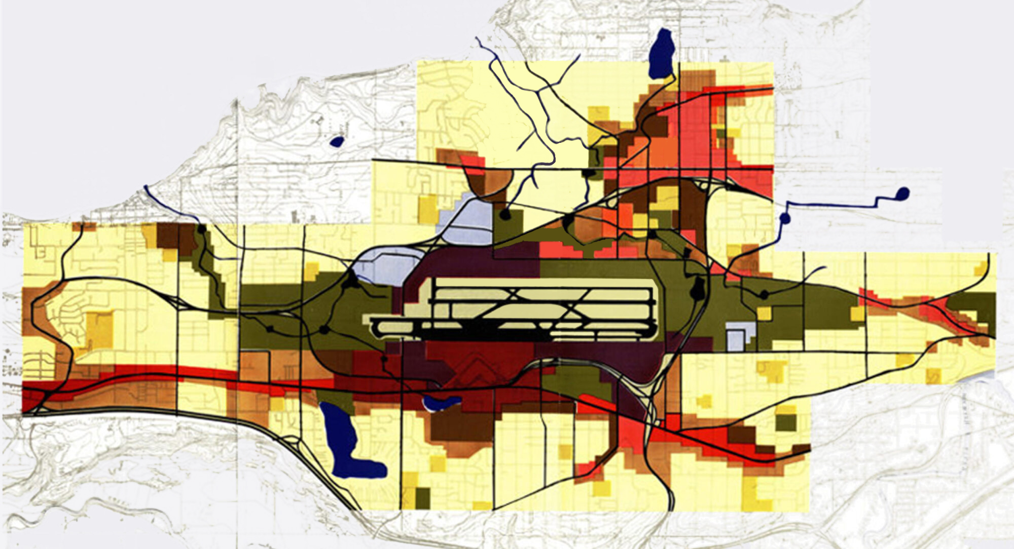
A color-coded GIS-style map overlay showing noise contour zones or land-use impact areas surrounding what appears to be a major airport runway complex at center. Colors ranging from light yellow to deep red and dark olive likely represent varying levels of noise exposure or compatible/incompatible land uses, with road networks shown in black and red lines.Open full document
Notes
A color-coded GIS-style map overlay showing noise contour zones or land-use impact areas surrounding what appears to be a major airport runway complex at center. Colors ranging from light yellow to deep red and dark olive likely represent varying levels of noise exposure or compatible/incompatible land uses, with road networks shown in black and red lines.