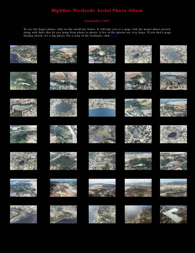
The Highline Wetlands Aerial Photo Album, compiled in September 2003, presents a collection of aerial photographs documenting wetlands, lakes, and waterways in the Sea-Tac Airport area of Washington State. The album covers locations including Miller Creek, Walker Creek, Lake Burien, Angle Lake, and other water resources affected by the proposed Third Runway construction at Seattle-Tacoma International Airport. An accompanying map illustrates the runway's projected impact on local water resources, identifying proposed fill areas and the third runway site relative to surrounding communities such as Burien, Normandy Park, and Des Moines.Open full document
Notes
An aerial photo album from September 2003 documenting the Highline Wetlands area near Sea-Tac Airport, featuring 35 thumbnail images linking to larger photos of lakes, creeks, wetlands, and airport-related fill areas. The collection is accompanied by a map titled ‘Third Runway Impact on Water Resources’ showing the Sea-Tac area including Miller Creek, Walker Creek, Des Moines Creek, and various lakes. The photos and map illustrate the relationship between the proposed third runway construction and surrounding water resources.