Notes
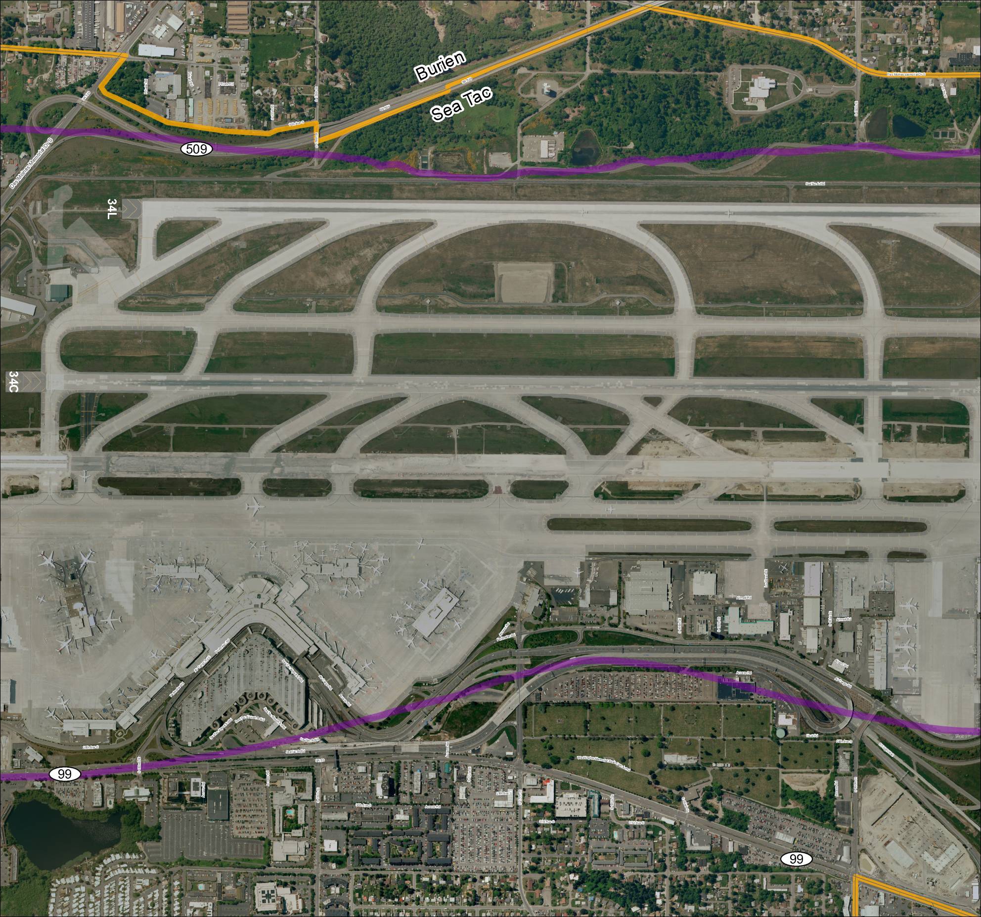
Aerial satellite map labeled ‘Grid3_2013Baseline’ showing Sea-Tac Airport (KSEA) runways 34L and 34C, terminal area, cargo facilities, and surrounding roadways including SR 509, SR 99, Des Moines Memorial Dr S, S 176th St, S 160th St, S 166th St, Airmail Rd, Perimeter Rd, Air Cargo Rd, and Access Rd. Map shows boundary between Burien and SeaTac municipalities. Overlaid route lines in purple and orange/yellow appear to depict ST Light Rail and SR 509 alignments. Part of a grid-based baseline mapping series for the Sea-Tac Airport area circa 2013.