Notes
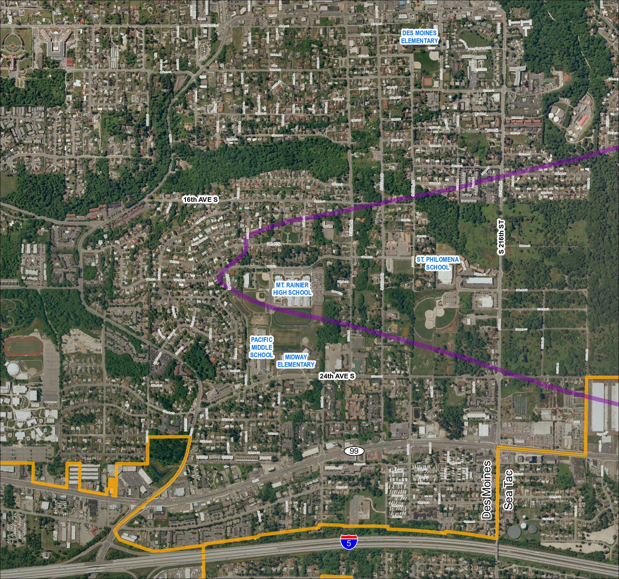
Aerial map of Grid 1 showing the 2013 baseline flight track or noise corridor (purple line) overlaid on the Des Moines and SeaTac area, Washington. Identifies schools including Mt. Rainier High School, Pacific Middle School, Midway Elementary, Des Moines Elementary, and St. Philomena School. Key roads labeled include SR 99, SR 509, SR 516, S 216th St, 24th Ave S, and 16th Ave S. Orange boundary outline delineates a study or project area boundary. Likely associated with Sea-Tac Airport noise, flight track, or STCP mapping documentation.