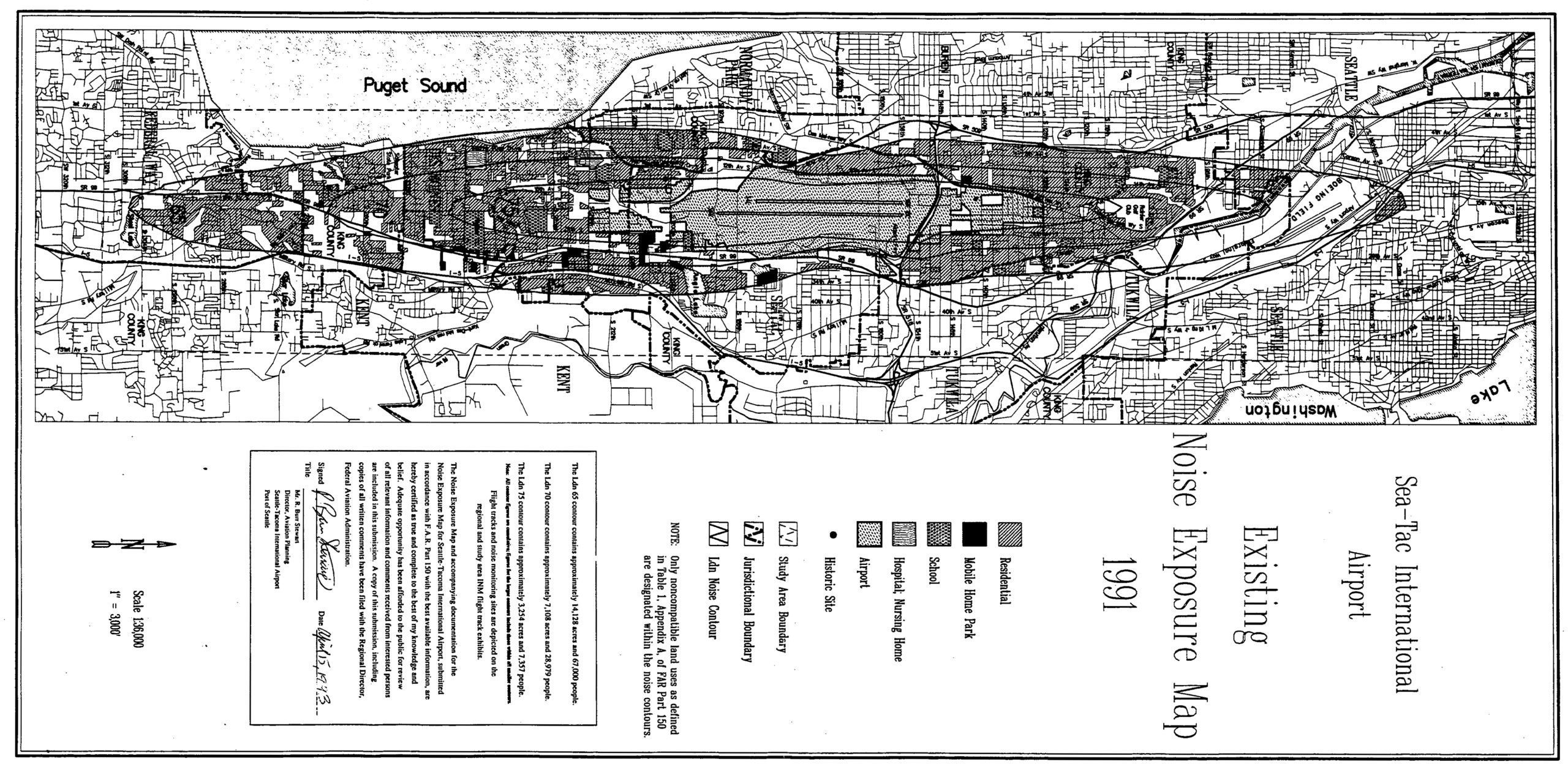
This is the official 1991 Existing Noise Exposure Map for Seattle-Tacoma International Airport, prepared in accordance with FAR Part 150. The map covers the Sea-Tac flight corridor from Puget Sound to Lake Washington, showing noise contours, jurisdictional boundaries across King County municipalities, and land use designations including residential, school, hospital/nursing home, mobile home park, and airport zones; it is signed by W.E. Bus-Street, Director of Aviation Planning, Seattle-Tacoma International Airport, and dated April 15, 1993.Open full document
Notes
This is the official 1991 Existing Noise Exposure Map for Seattle-Tacoma International Airport, prepared in accordance with FAR Part 150. The map covers the Sea-Tac flight corridor from Puget Sound to Lake Washington, showing noise contours, jurisdictional boundaries across King County municipalities, and land use designations including residential, school, hospital/nursing home, mobile home park, and airport zones; it is signed by W.E. Bus-Street, Director of Aviation Planning, Seattle-Tacoma International Airport, and dated April 15, 1993.