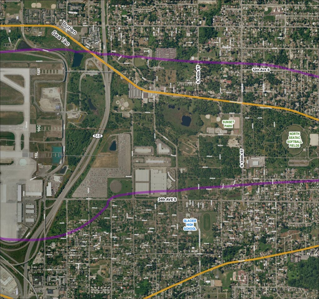
This aerial map shows the area surrounding Seattle-Tacoma International Airport, including the cities of Burien and SeaTac, with runway designations 16R, 16C, and 16L marked along the western edge. Two colored flight-path or noise-contour lines — one purple and one gold — are overlaid on the map, tracing routes that extend east through residential neighborhoods, parks such as Sunset Park and North SeaTac Softball Fields, and past landmarks including Glacier High School. The map appears to be part of a noise or flight-path policy study documenting how aircraft departure and arrival corridors affect surrounding communities along SR 518 and adjacent streets.Open full document
Notes
Aerial/satellite basemap of Grid 4 covering the Sea-Tac Airport vicinity for 2013 baseline reference. Shows runway designations 16R, 16C, and 16L, SR 518, S 136th St, S 140th St, 24th Ave S, Glacier High School, Sunset Park, North SeaTac Softball Fields, and surrounding street network in the Burien/SeaTac area of King County, Washington. Purple and yellow overlay lines indicate study corridors or noise contour boundaries.