Notes
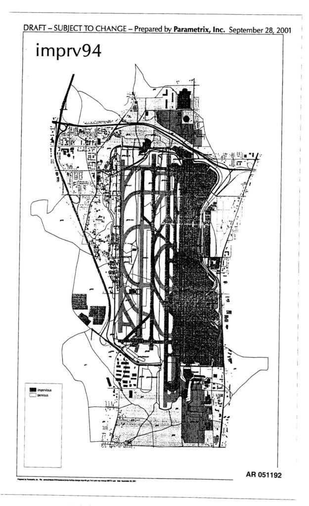
Draft maps prepared by Parametrix, Inc. on September 28, 2001, showing impervious and pervious surface coverage for the Sea-Tac Airport area. Two maps labeled imprv94 and imprv04 depict land surface conditions with dark shading indicating impervious surfaces and light areas indicating pervious surfaces. Documents are part of Administrative Record AR 051192 and AR 051193, likely related to stormwater, environmental review, or SAMP/EIS analysis for Sea-Tac Airport.