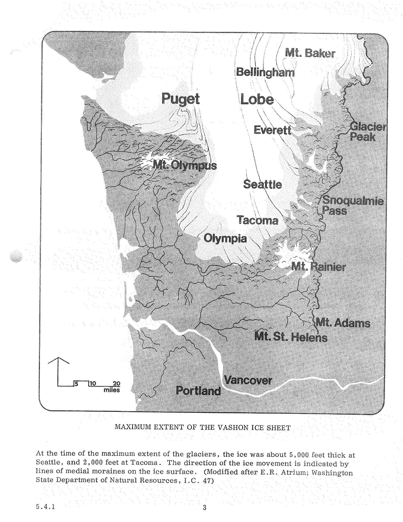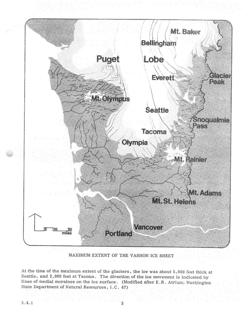
Map showing the maximum extent of the Vashon glacial ice sheet over western Washington state, including the Puget Lobe, with labeled locations including Seattle, Tacoma, Olympia, Portland, and surrounding peaks. Caption notes the ice was approximately 5,000 feet thick at Seattle and 2,000 feet at Tacoma; modified after E.R. Atrium, Washington State Department of Natural Resources, I.C. 47.Open full document
Notes
Map showing the maximum extent of the Vashon glacial ice sheet over western Washington state, including the Puget Lobe, with labeled locations including Seattle, Tacoma, Olympia, Portland, and surrounding peaks. Caption notes the ice was approximately 5,000 feet thick at Seattle and 2,000 feet at Tacoma; modified after E.R. Atrium, Washington State Department of Natural Resources, I.C. 47.