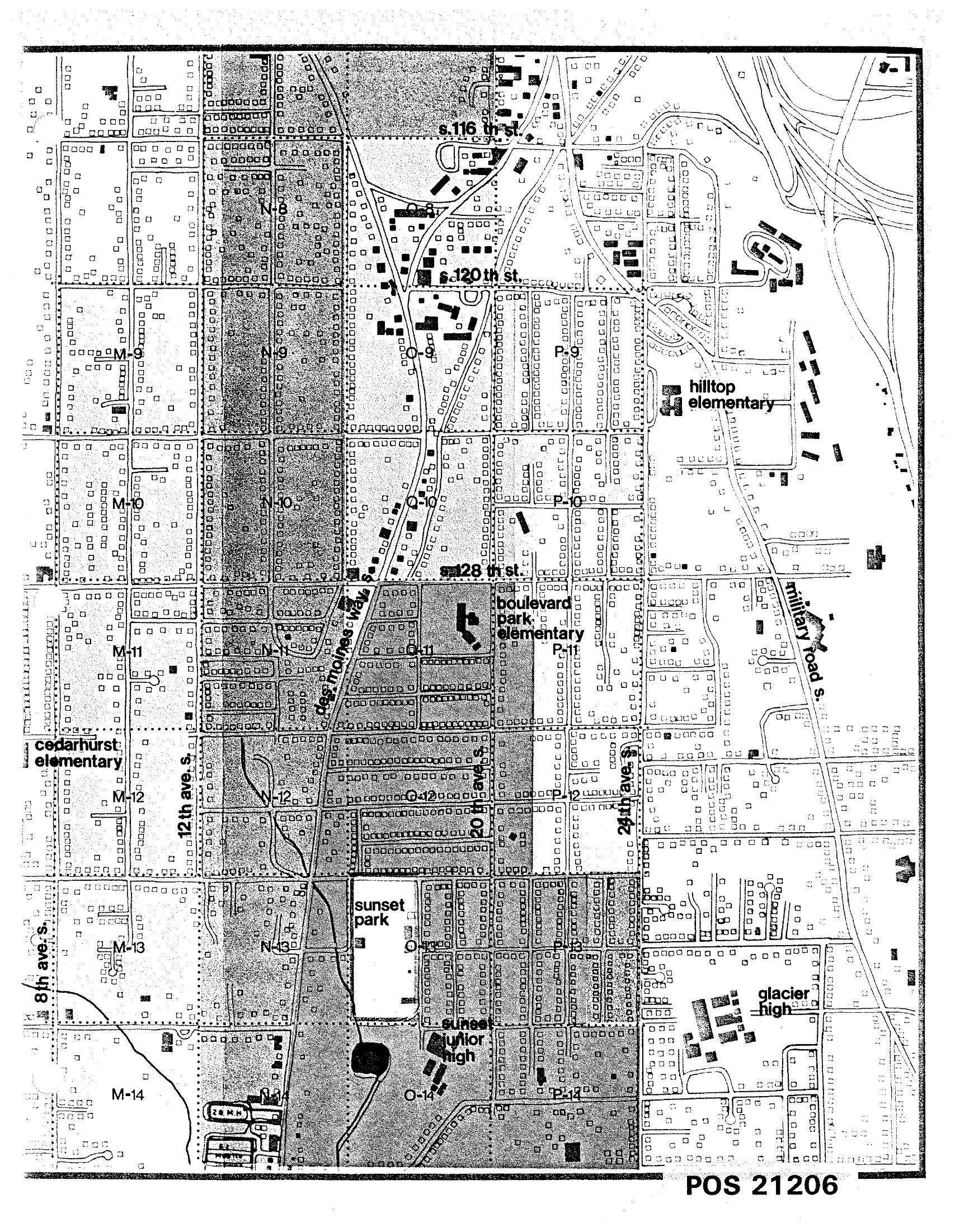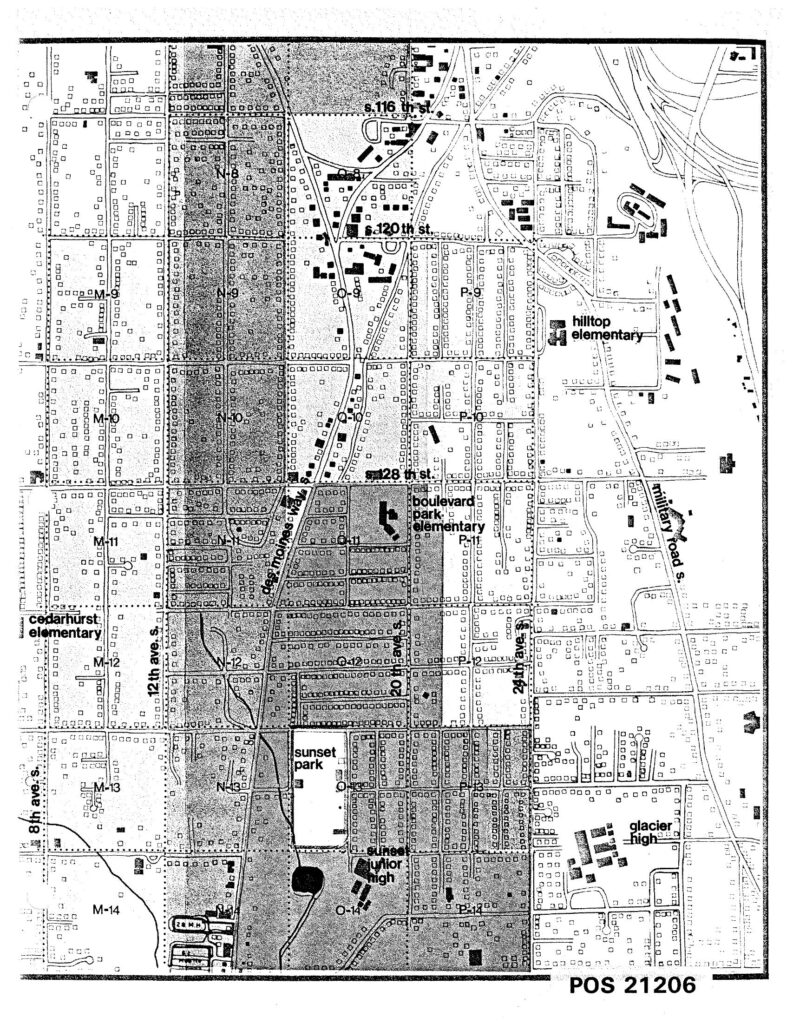
A detailed street grid map labeled POS 21206 showing a residential area south of Seattle, including named landmarks such as Hilltop Elementary, Boulevard Park Elementary, Cedarhurst Elementary, Sunset Junior High, and Glacier High School. Streets visible include S. 116th St., S. 120th St., S. 128th St., 8th Ave. S., 12th Ave. S., 24th Ave. S., Des Moines Way, and Military Road S., with grid squares labeled M through P and rows 8 through 14.Open full document
Notes
A detailed street grid map labeled POS 21206 showing a residential area south of Seattle, including named landmarks such as Hilltop Elementary, Boulevard Park Elementary, Cedarhurst Elementary, Sunset Junior High, and Glacier High School. Streets visible include S. 116th St., S. 120th St., S. 128th St., 8th Ave. S., 12th Ave. S., 24th Ave. S., Des Moines Way, and Military Road S., with grid squares labeled M through P and rows 8 through 14.