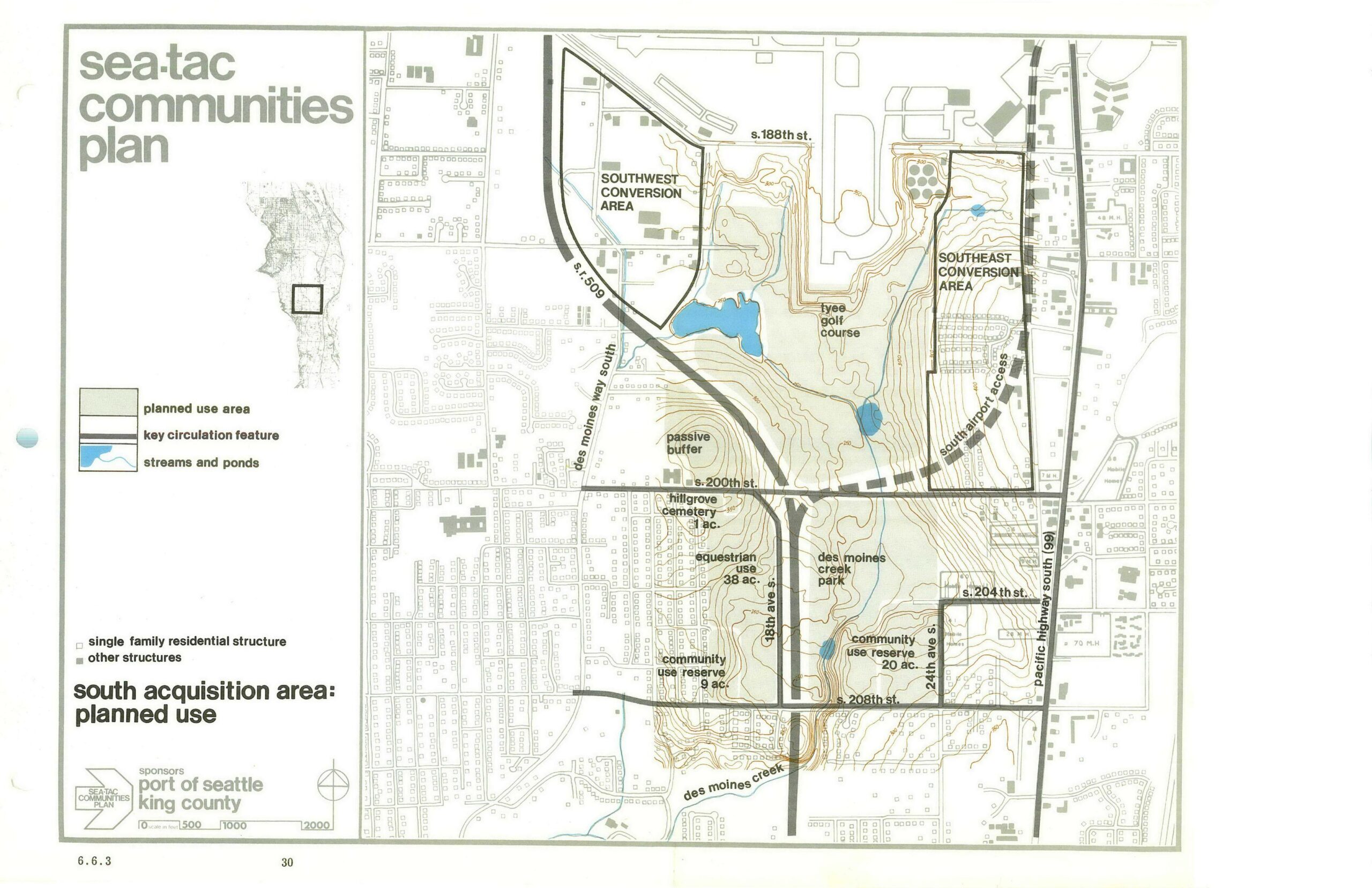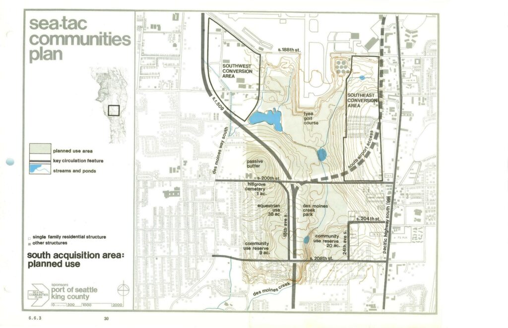
A planning map from the Sea-Tac Communities Plan, sponsored by the Port of Seattle and King County, showing the south acquisition area's planned land uses including the Southwest and Southeast Conversion Areas, Tyee Golf Course, Des Moines Creek Park, equestrian use (38 ac.), community use reserves, Hillgrove Cemetery, and a passive buffer zone. Key circulation features including SR-509, Des Moines Way South, and Pacific Highway South (99) are delineated, with streams and ponds shown in blue.Open full document
Notes
A planning map from the Sea-Tac Communities Plan, sponsored by the Port of Seattle and King County, showing the south acquisition area’s planned land uses including the Southwest and Southeast Conversion Areas, Tyee Golf Course, Des Moines Creek Park, equestrian use (38 ac.), community use reserves, Hillgrove Cemetery, and a passive buffer zone. Key circulation features including SR-509, Des Moines Way South, and Pacific Highway South (99) are delineated, with streams and ponds shown in blue.