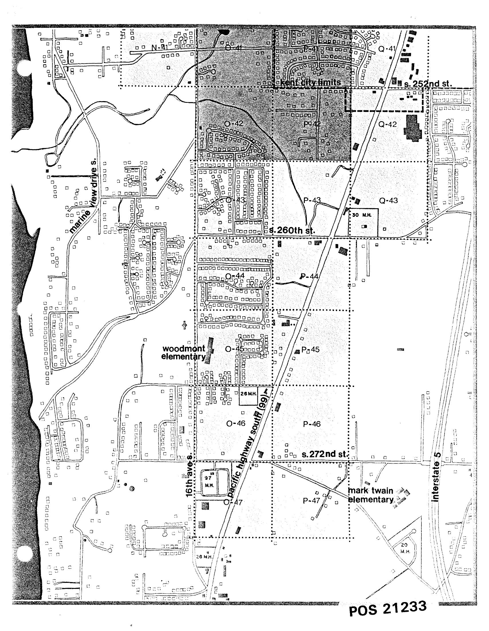
A black-and-white planning map (reference number POS 21233) showing residential and land-use grid sections along Pacific Highway South (SR-99) between S. 252nd St. and S. 272nd St., including Kent City Limits, Marine View Drive S., 16th Ave. S., Interstate 5, Woodmont Elementary, and Mark Twain Elementary. The map identifies mobile home (M.H.) counts and parcel patterns relevant to airport noise impact analysis in the Des Moines/Kent area south of Seattle-Tacoma International Airport.Open full document
Notes
A black-and-white planning map (reference number POS 21233) showing residential and land-use grid sections along Pacific Highway South (SR-99) between S. 252nd St. and S. 272nd St., including Kent City Limits, Marine View Drive S., 16th Ave. S., Interstate 5, Woodmont Elementary, and Mark Twain Elementary. The map identifies mobile home (M.H.) counts and parcel patterns relevant to airport noise impact analysis in the Des Moines/Kent area south of Seattle-Tacoma International Airport.