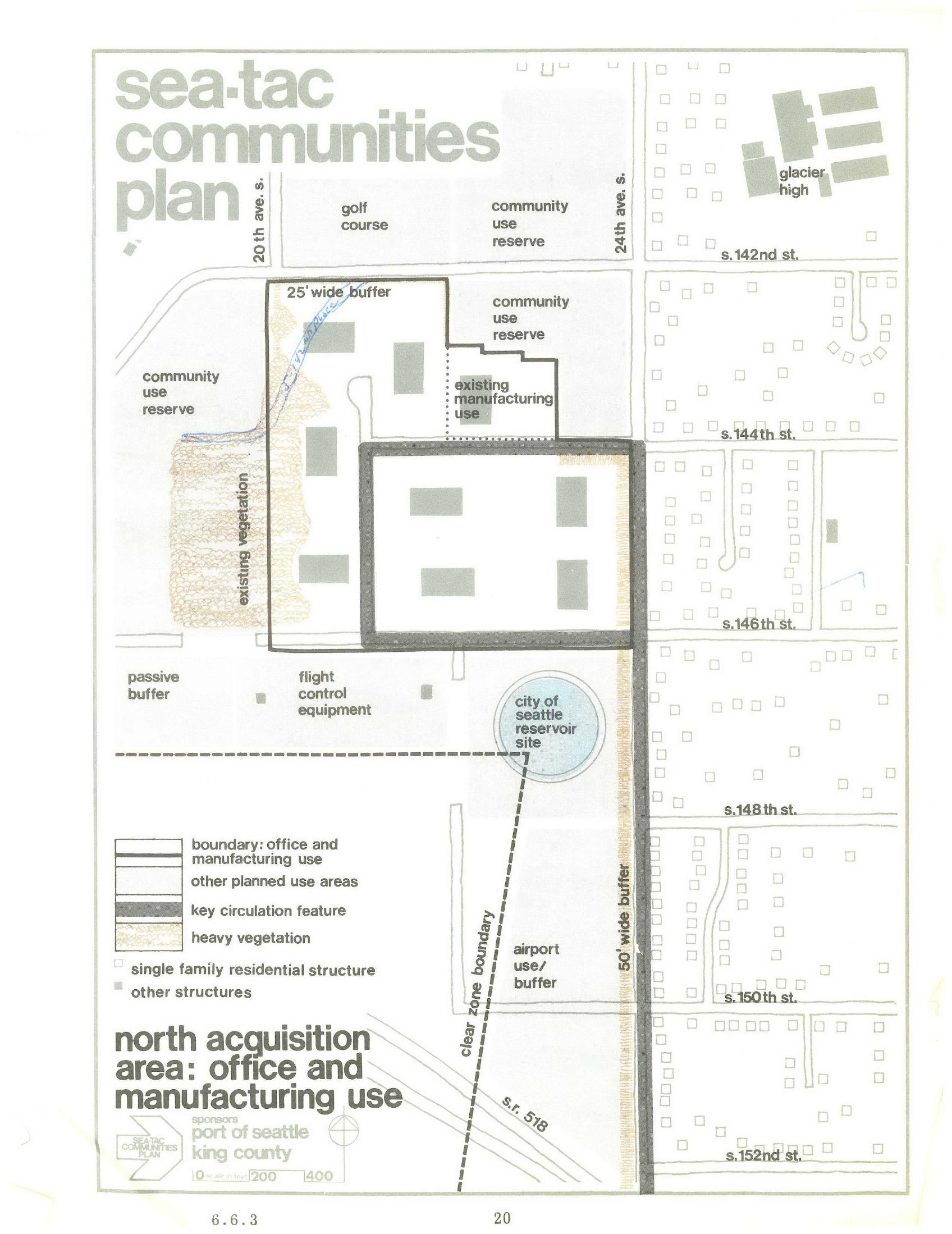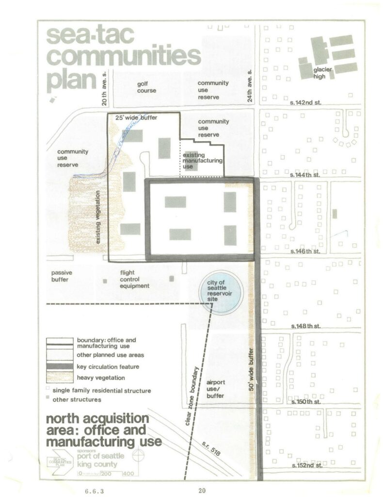
A land-use planning map labeled 'Sea-Tac Communities Plan,' page 20, figure 6.6.3, sponsored by the Port of Seattle and King County. It depicts the north acquisition area designated for office and manufacturing use, showing a 25-foot wide buffer, 50-foot wide buffer, community use reserves, existing vegetation, flight control equipment, a City of Seattle reservoir site, airport use/buffer zones, the clear zone boundary along S.R. 518, and surrounding streets from S. 142nd to S. 152nd Street between 20th Ave. S. and 24th Ave. S., including Glacier High School.Open full document
Notes
A land-use planning map labeled ‘Sea-Tac Communities Plan,’ page 20, figure 6.6.3, sponsored by the Port of Seattle and King County. It depicts the north acquisition area designated for office and manufacturing use, showing a 25-foot wide buffer, 50-foot wide buffer, community use reserves, existing vegetation, flight control equipment, a City of Seattle reservoir site, airport use/buffer zones, the clear zone boundary along S.R. 518, and surrounding streets from S. 142nd to S. 152nd Street between 20th Ave. S. and 24th Ave. S., including Glacier High School.