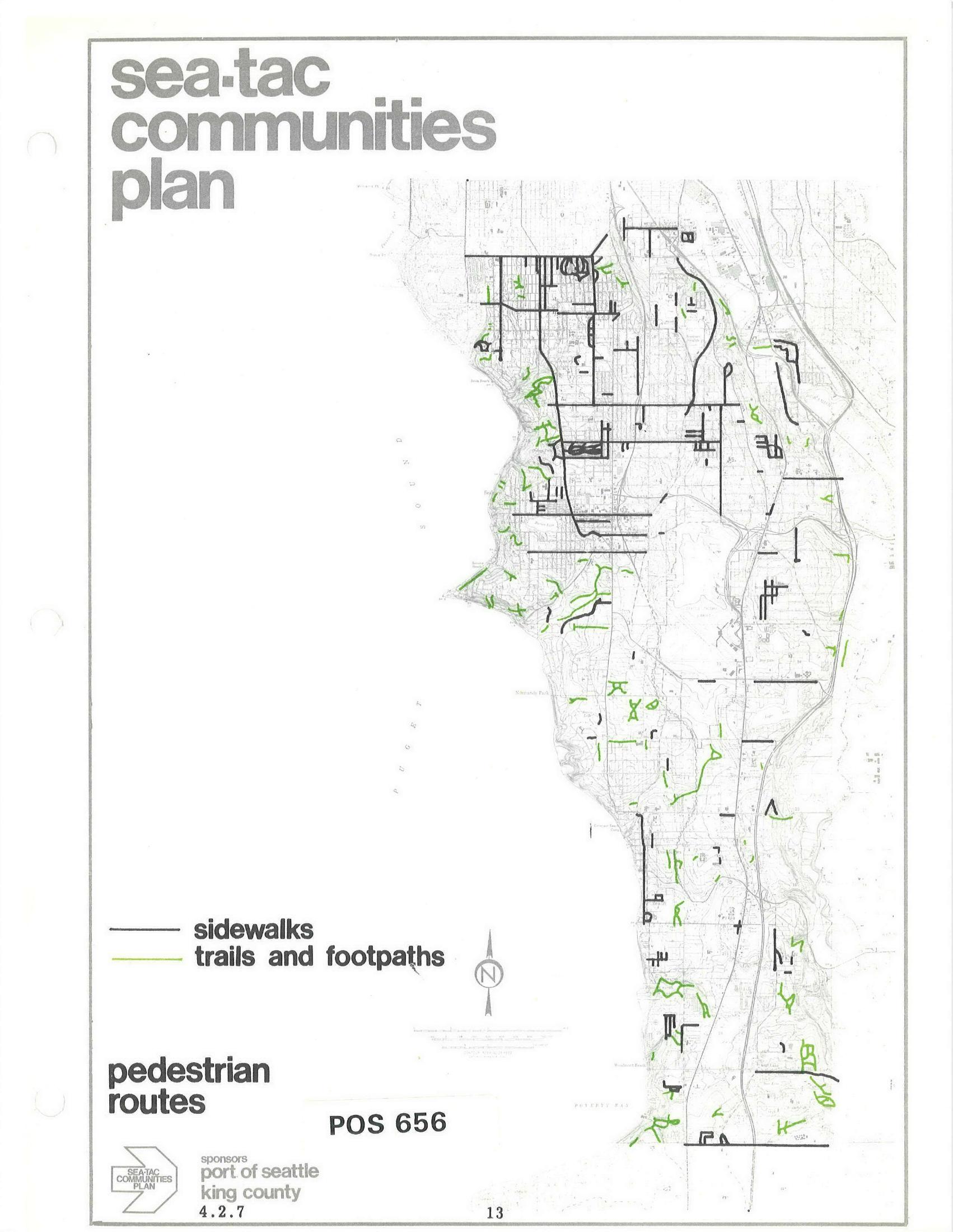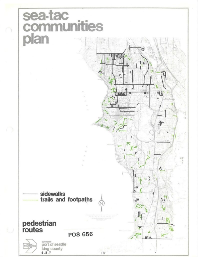
A planning map labeled 'Sea-Tac Communities Plan' showing pedestrian routes — sidewalks (black lines) and trails and footpaths (green lines) — within the Sea-Tac area. The document is identified as POS 656, page 13, sponsored by the Port of Seattle and King County, dated 4.2.7.Open full document
Notes
A planning map labeled ‘Sea-Tac Communities Plan’ showing pedestrian routes — sidewalks (black lines) and trails and footpaths (green lines) — within the Sea-Tac area. The document is identified as POS 656, page 13, sponsored by the Port of Seattle and King County, dated 4.2.7.