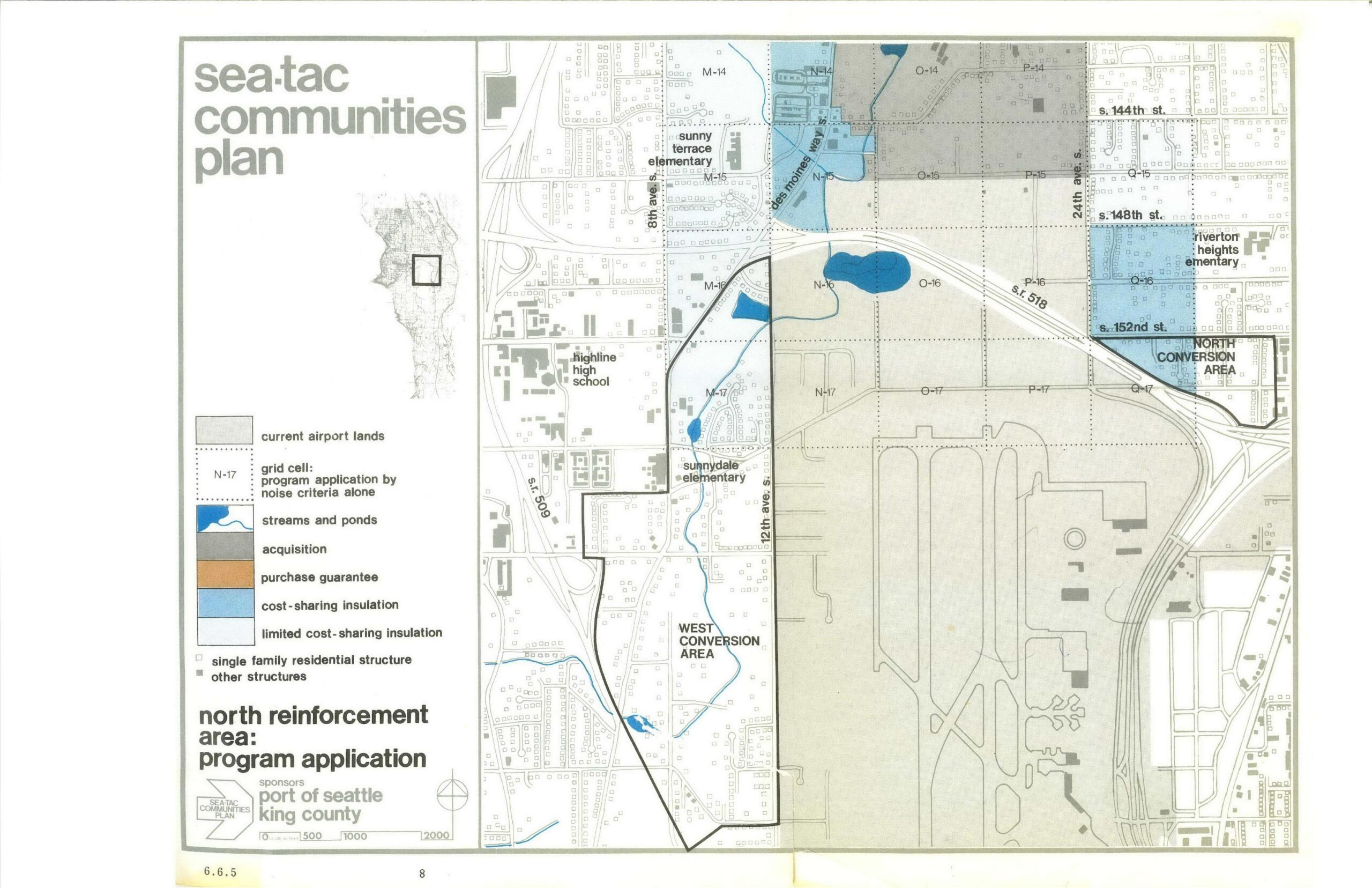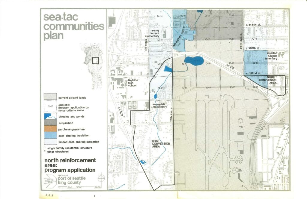
A planning map (page 8, document section 6.6.5) from the Sea-Tac Communities Plan, sponsored by the Port of Seattle and King County, depicting the North Reinforcement Area program application around Seattle-Tacoma International Airport. The map shows land-use categories including current airport lands, acquisition zones, cost-sharing insulation areas, conversion areas (West and North), streams and ponds, and nearby landmarks such as Highline High School, Sunny Terrace Elementary, Sunnydale Elementary, and Riverton Heights Elementary, with a grid cell reference system and scale bar.Open full document
Notes
A planning map (page 8, document section 6.6.5) from the Sea-Tac Communities Plan, sponsored by the Port of Seattle and King County, depicting the North Reinforcement Area program application around Seattle-Tacoma International Airport. The map shows land-use categories including current airport lands, acquisition zones, cost-sharing insulation areas, conversion areas (West and North), streams and ponds, and nearby landmarks such as Highline High School, Sunny Terrace Elementary, Sunnydale Elementary, and Riverton Heights Elementary, with a grid cell reference system and scale bar.