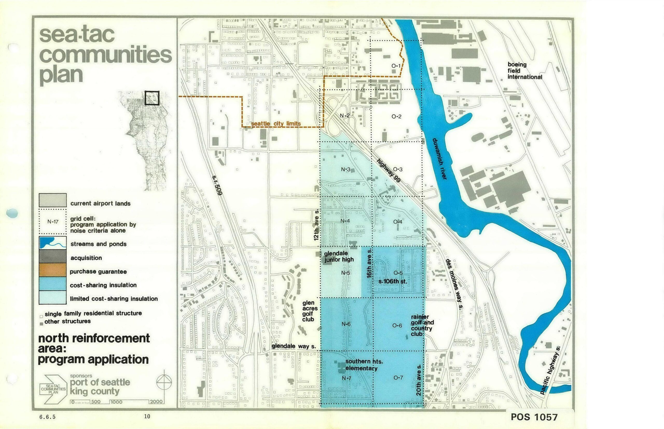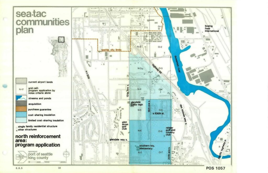
This planning map (document number POS 1057, sheet 6.6.5, page 10) from the Sea-Tac Communities Plan depicts the North Reinforcement Area program application, showing grid cells N-1 through N-7 and O-1 through O-7 near Seattle-Tacoma International Airport. Sponsored by the Port of Seattle and King County, the map identifies land-use categories including current airport lands, acquisition zones, purchase guarantee areas, cost-sharing insulation areas, and limited cost-sharing insulation areas, with landmarks such as Boeing Field International, the Duwamish River, Glendale Junior High, Southern Heights Elementary, and Rainier Golf and Country Club.Open full document
Notes
This planning map (document number POS 1057, sheet 6.6.5, page 10) from the Sea-Tac Communities Plan depicts the North Reinforcement Area program application, showing grid cells N-1 through N-7 and O-1 through O-7 near Seattle-Tacoma International Airport. Sponsored by the Port of Seattle and King County, the map identifies land-use categories including current airport lands, acquisition zones, purchase guarantee areas, cost-sharing insulation areas, and limited cost-sharing insulation areas, with landmarks such as Boeing Field International, the Duwamish River, Glendale Junior High, Southern Heights Elementary, and Rainier Golf and Country Club.