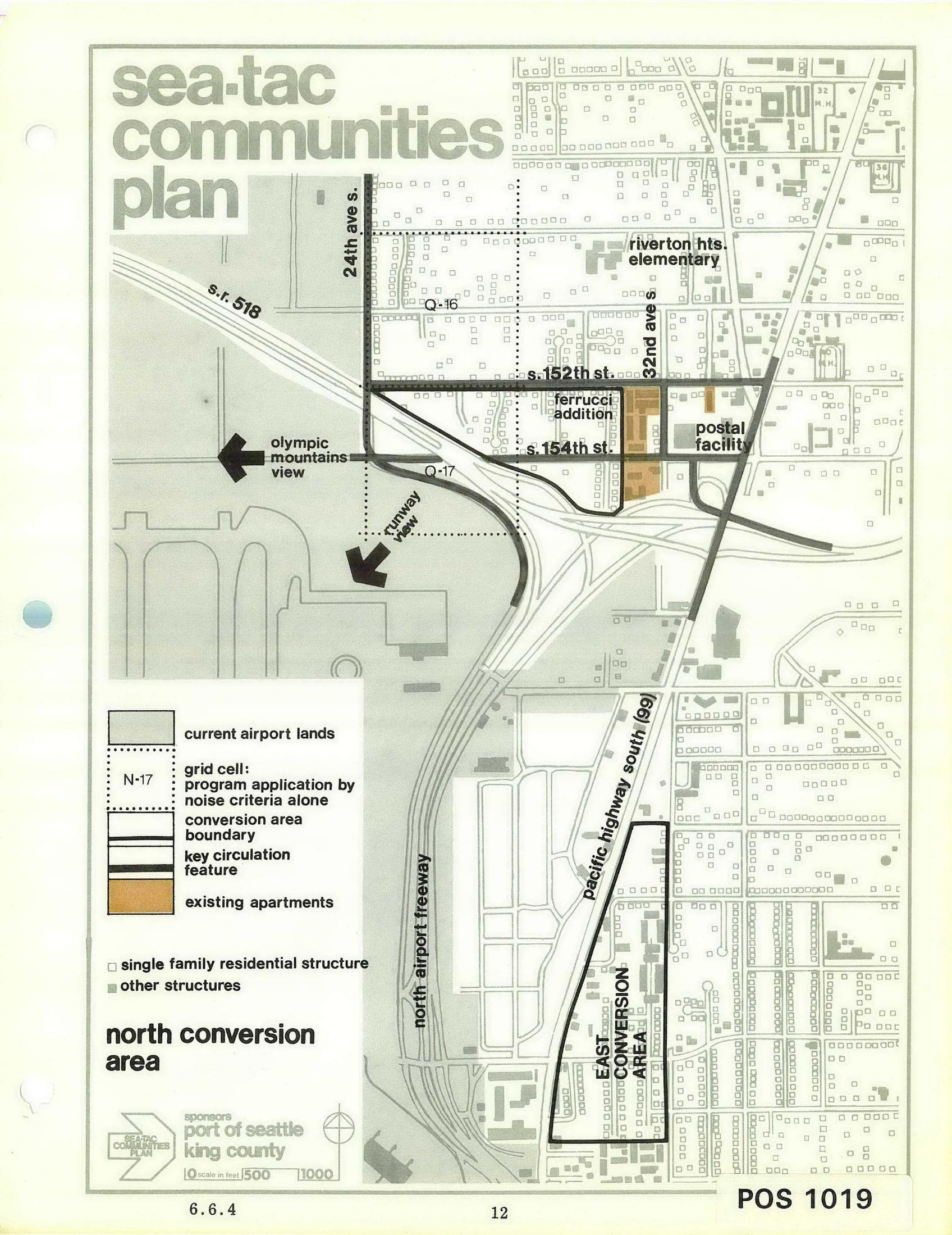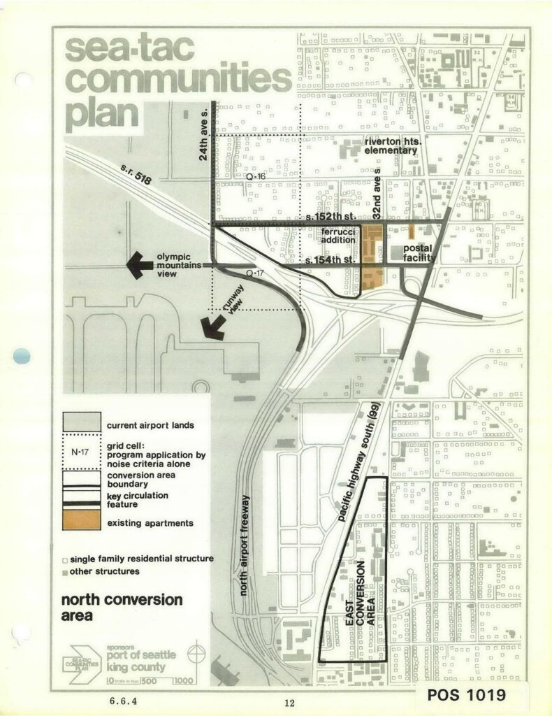
A planning map labeled 'Sea-Tac Communities Plan' showing the North Conversion Area near Seattle-Tacoma Airport, identifying key features including S.R. 518, S. 152nd and S. 154th Streets, 24th and 32nd Avenues S., Riverton Heights Elementary, a postal facility, Ferrucci Addition, grid cells Q-16 and Q-17, Olympic Mountains view corridor, runway view corridor, and the East Conversion Area along Pacific Highway South (99). Sponsored by the Port of Seattle and King County, document reference POS 1019, page 6.6.4.Open full document
Notes
A planning map labeled ‘Sea-Tac Communities Plan’ showing the North Conversion Area near Seattle-Tacoma Airport, identifying key features including S.R. 518, S. 152nd and S. 154th Streets, 24th and 32nd Avenues S., Riverton Heights Elementary, a postal facility, Ferrucci Addition, grid cells Q-16 and Q-17, Olympic Mountains view corridor, runway view corridor, and the East Conversion Area along Pacific Highway South (99). Sponsored by the Port of Seattle and King County, document reference POS 1019, page 6.6.4.