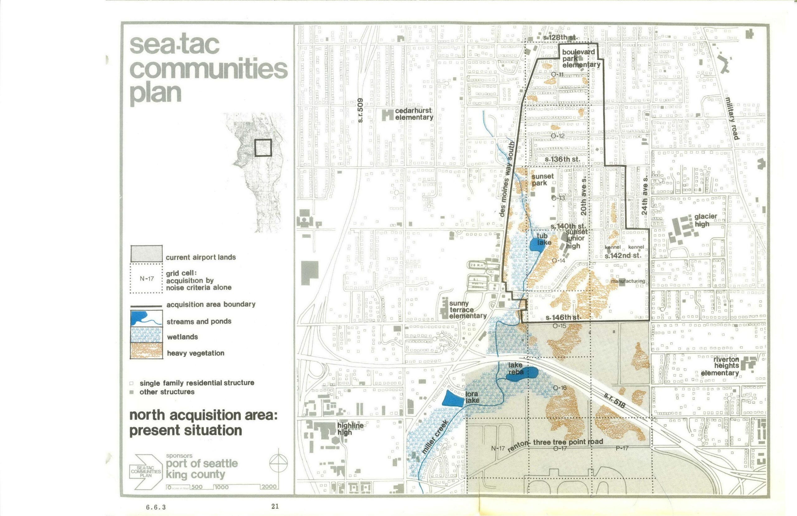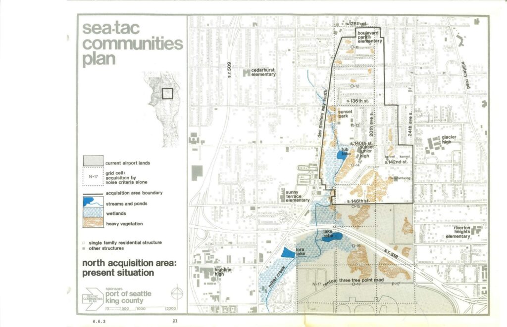
A planning map sponsored by the Port of Seattle and King County as part of the Sea-Tac Communities Plan, depicting the North Acquisition Area and its present situation. The map identifies schools (Boulevard Park Elementary, Cedarhurst Elementary, Sunset Junior High, Glacier High, Highline High, and others), land features (wetlands, streams, heavy vegetation), grid cells subject to acquisition by noise criteria alone, and key streets including S. 128th St., S. 136th St., S. 140th St., S. 146th St., and State Routes 509 and 518.Open full document
Notes
A planning map sponsored by the Port of Seattle and King County as part of the Sea-Tac Communities Plan, depicting the North Acquisition Area and its present situation. The map identifies schools (Boulevard Park Elementary, Cedarhurst Elementary, Sunset Junior High, Glacier High, Highline High, and others), land features (wetlands, streams, heavy vegetation), grid cells subject to acquisition by noise criteria alone, and key streets including S. 128th St., S. 136th St., S. 140th St., S. 146th St., and State Routes 509 and 518.