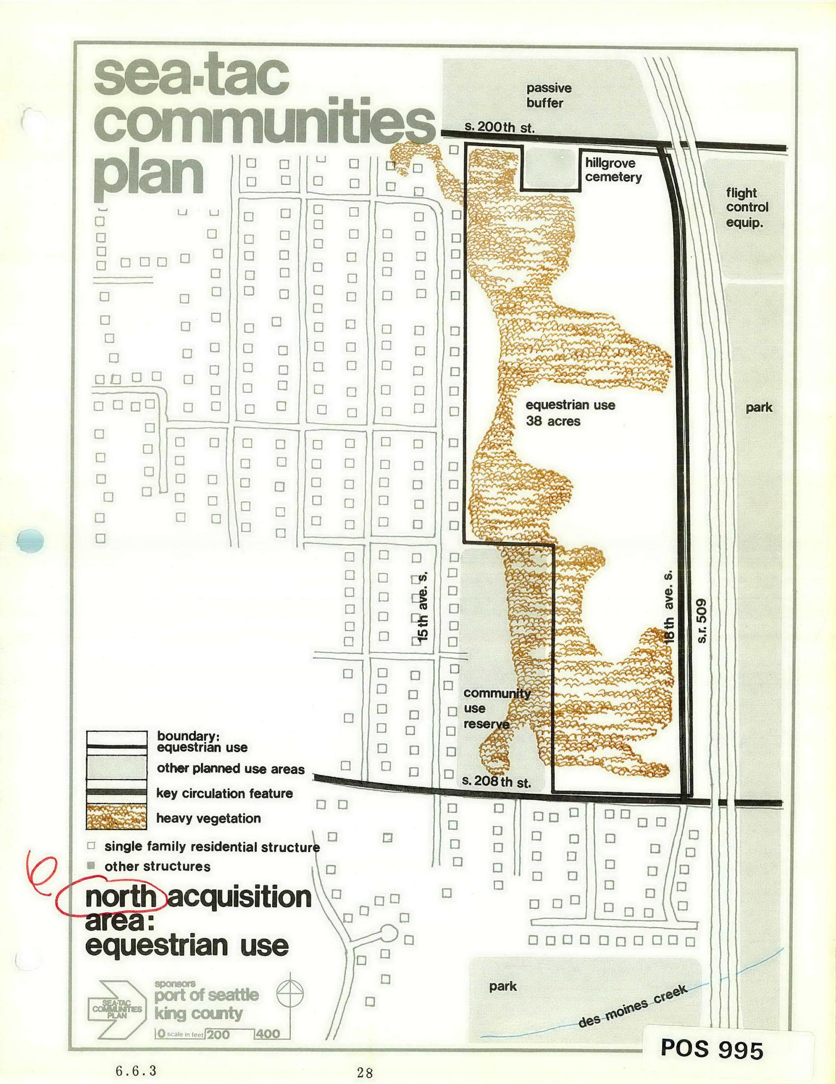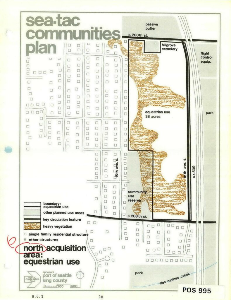
A planning map labeled 'POS 995' from the Sea-Tac Communities Plan, sponsored by the Port of Seattle and King County, showing the north acquisition area designated for equestrian use (38 acres) between S. 200th St. and S. 208th St., bounded by 15th Ave. S. and 16th Ave. S./S.R. 509. The map identifies land uses including Hillgrove Cemetery, a passive buffer, flight control equipment area, community use reserve, heavy vegetation, and adjacent parks including one near Des Moines Creek.Open full document
Notes
A planning map labeled ‘POS 995’ from the Sea-Tac Communities Plan, sponsored by the Port of Seattle and King County, showing the north acquisition area designated for equestrian use (38 acres) between S. 200th St. and S. 208th St., bounded by 15th Ave. S. and 16th Ave. S./S.R. 509. The map identifies land uses including Hillgrove Cemetery, a passive buffer, flight control equipment area, community use reserve, heavy vegetation, and adjacent parks including one near Des Moines Creek.