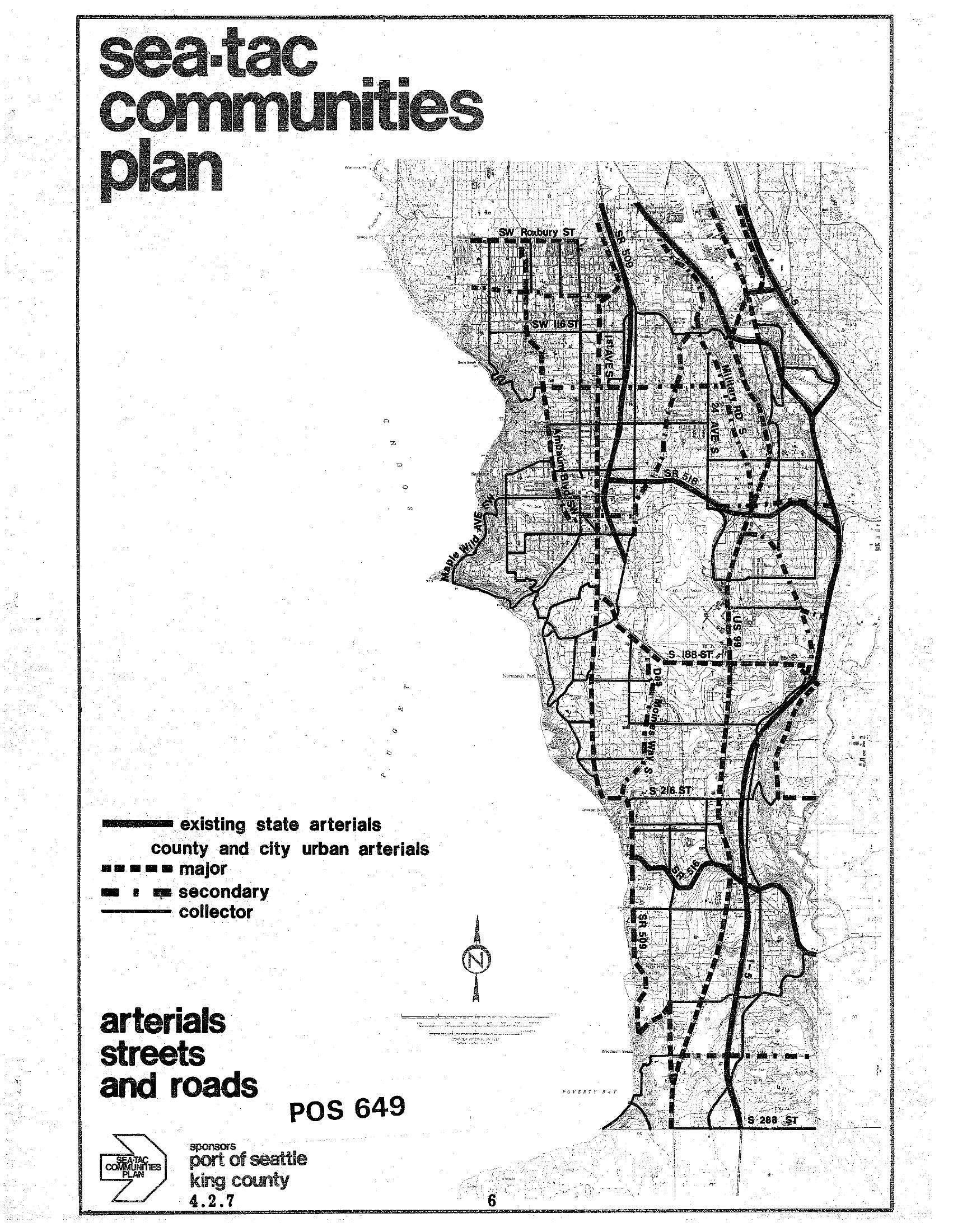
A planning map labeled 'Sea-Tac Communities Plan' showing arterials, streets, and roads in the Sea-Tac area, document number POS 649, map sheet 4.2.7. The map identifies existing state arterials, county and city urban arterials (major, secondary, and collector), with visible street labels including SW Roxbury St, S 188th St, S 216th St, S 288th St, SR 518, SR 509, and US 99; sponsored by the Port of Seattle and King County.Open full document
Notes
A planning map labeled ‘Sea-Tac Communities Plan’ showing arterials, streets, and roads in the Sea-Tac area, document number POS 649, map sheet 4.2.7. The map identifies existing state arterials, county and city urban arterials (major, secondary, and collector), with visible street labels including SW Roxbury St, S 188th St, S 216th St, S 288th St, SR 518, SR 509, and US 99; sponsored by the Port of Seattle and King County.