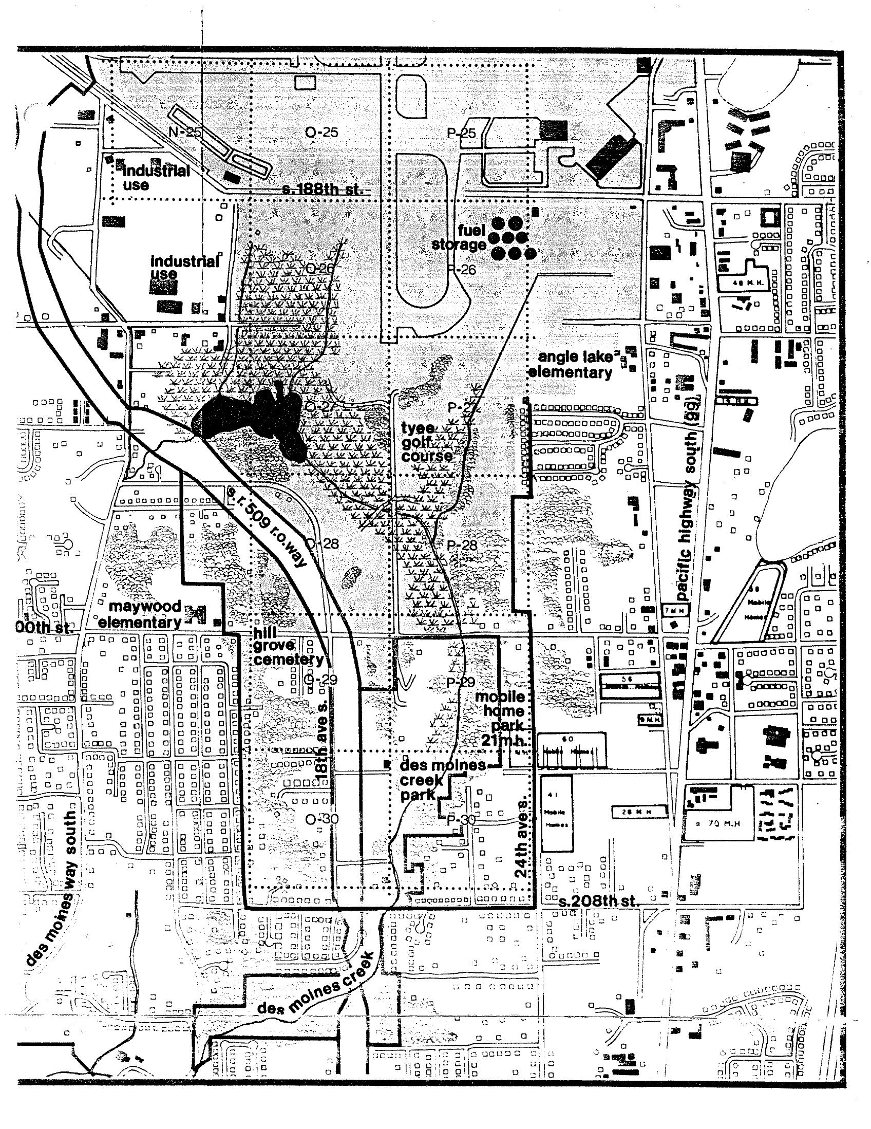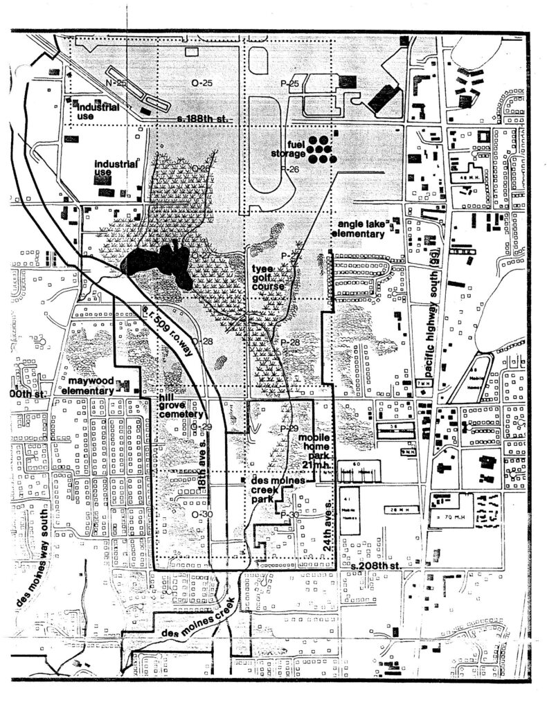
A detailed land-use planning map covering the area south of Seattle-Tacoma International Airport, spanning roughly S. 188th Street to S. 208th Street and Des Moines Way South to Pacific Highway South (99). Identifiable features include Tyee Golf Course, Hill Grove Cemetery, Maywood Elementary, Angle Lake Elementary, Des Moines Creek Park, a mobile home park, fuel storage facilities, and the S.R. 509 right-of-way corridor, with grid parcels labeled by alphanumeric codes (N-25 through P-30).Open full document
Notes
A detailed land-use planning map covering the area south of Seattle-Tacoma International Airport, spanning roughly S. 188th Street to S. 208th Street and Des Moines Way South to Pacific Highway South (99). Identifiable features include Tyee Golf Course, Hill Grove Cemetery, Maywood Elementary, Angle Lake Elementary, Des Moines Creek Park, a mobile home park, fuel storage facilities, and the S.R. 509 right-of-way corridor, with grid parcels labeled by alphanumeric codes (N-25 through P-30).