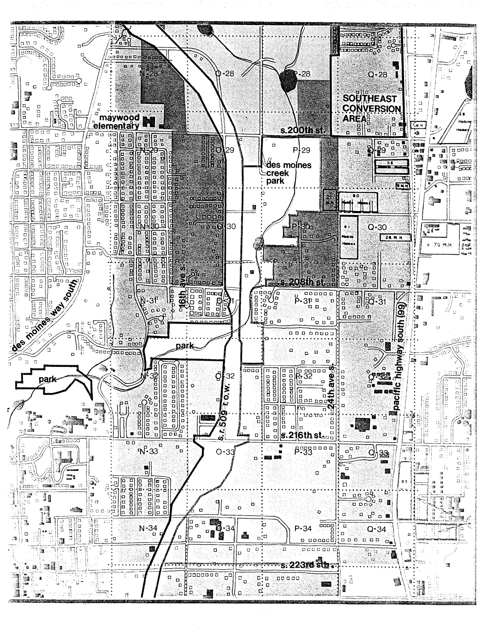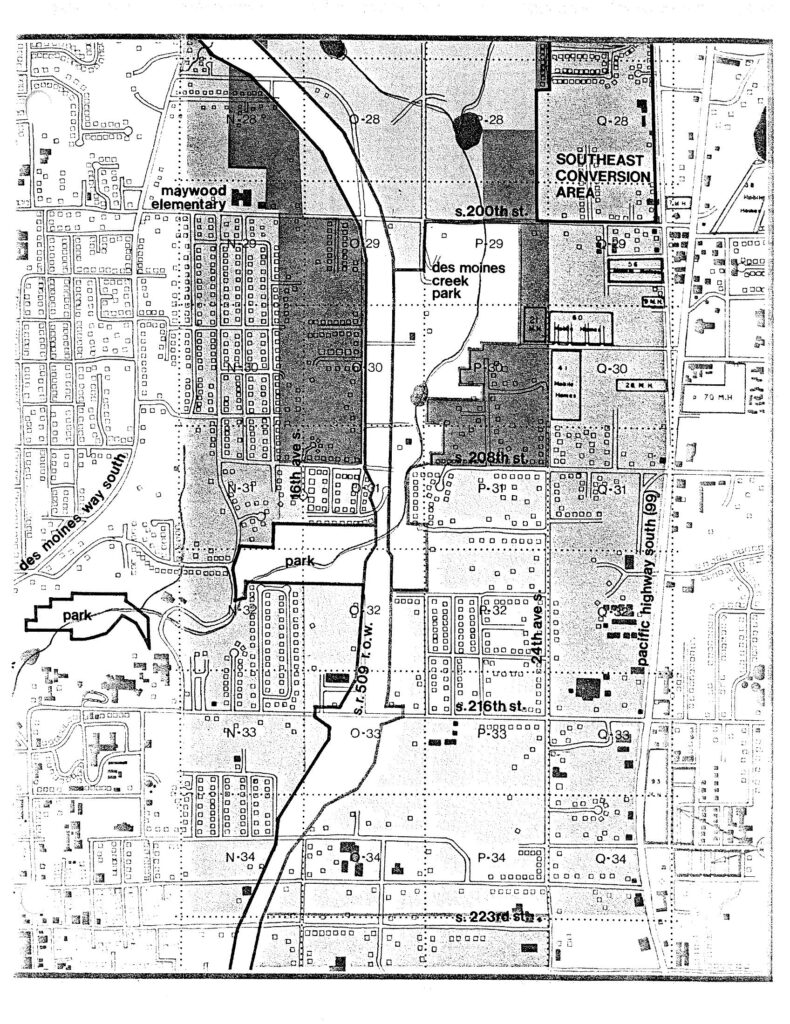
A planning map covering the area south of S. 200th Street to S. 223rd Street near Sea-Tac Airport, showing grid sections labeled N through Q (rows 28–34), major features including Des Moines Creek Park, Maywood Elementary School, Des Moines Way South, Pacific Highway South (SR 99), 46th Ave S, 24th Ave S, and the SR 509 right-of-way. The upper right corner is designated 'Southeast Conversion Area,' consistent with noise-impact land-use conversion planning documents associated with Sea-Tac Airport.Open full document
Notes
A planning map covering the area south of S. 200th Street to S. 223rd Street near Sea-Tac Airport, showing grid sections labeled N through Q (rows 28–34), major features including Des Moines Creek Park, Maywood Elementary School, Des Moines Way South, Pacific Highway South (SR 99), 46th Ave S, 24th Ave S, and the SR 509 right-of-way. The upper right corner is designated ‘Southeast Conversion Area,’ consistent with noise-impact land-use conversion planning documents associated with Sea-Tac Airport.