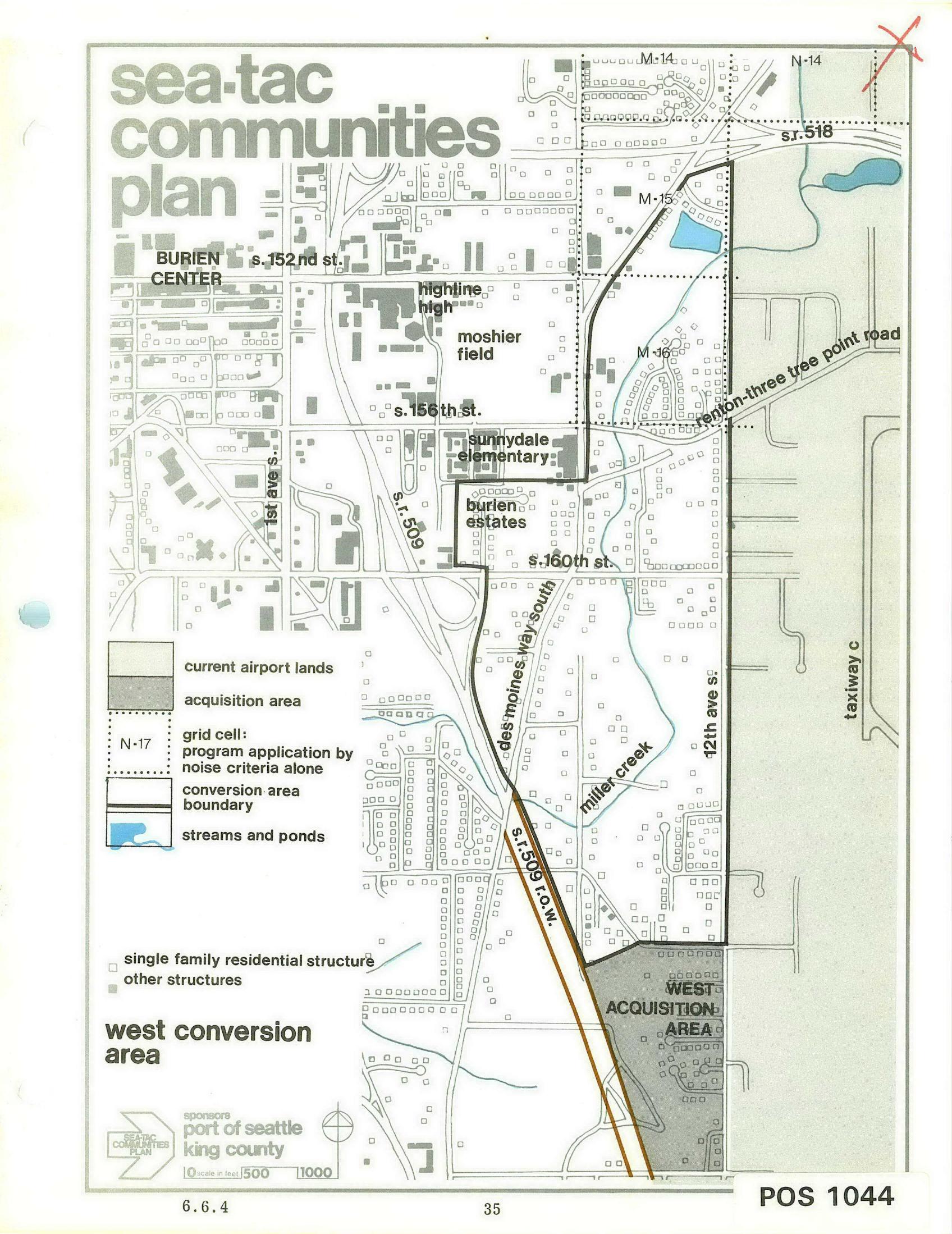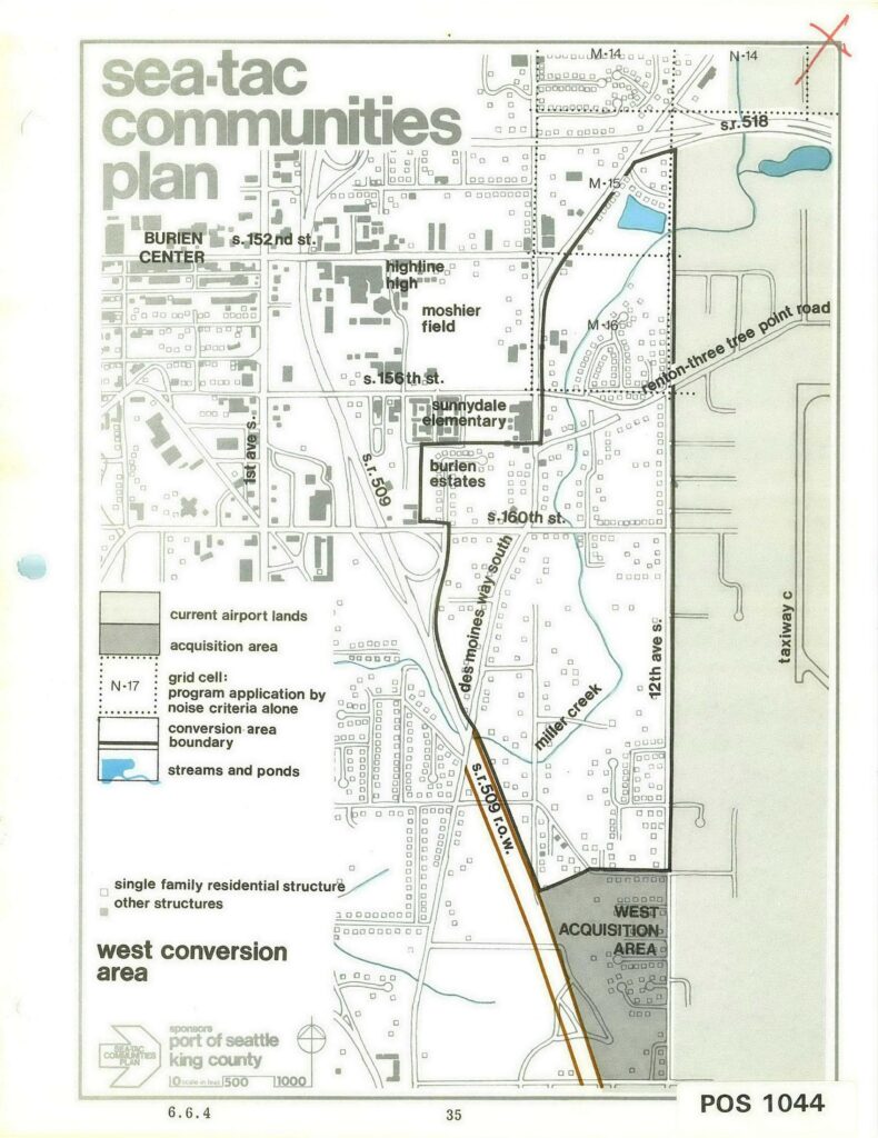
Planning map labeled 'Sea-Tac Communities Plan – West Conversion Area,' sponsored by the Port of Seattle and King County, showing the west conversion area boundary, current airport lands, acquisition areas, grid cells subject to noise criteria, streams and ponds, and named landmarks including Burien Center, Highline High School, Moshier Field, Sunnydale Elementary, and Burien Estates. Document reference number POS 1044 appears at lower right, and the map scale and section number 6.6.4 are noted at bottom.Open full document
Notes
Planning map labeled ‘Sea-Tac Communities Plan – West Conversion Area,’ sponsored by the Port of Seattle and King County, showing the west conversion area boundary, current airport lands, acquisition areas, grid cells subject to noise criteria, streams and ponds, and named landmarks including Burien Center, Highline High School, Moshier Field, Sunnydale Elementary, and Burien Estates. Document reference number POS 1044 appears at lower right, and the map scale and section number 6.6.4 are noted at bottom.