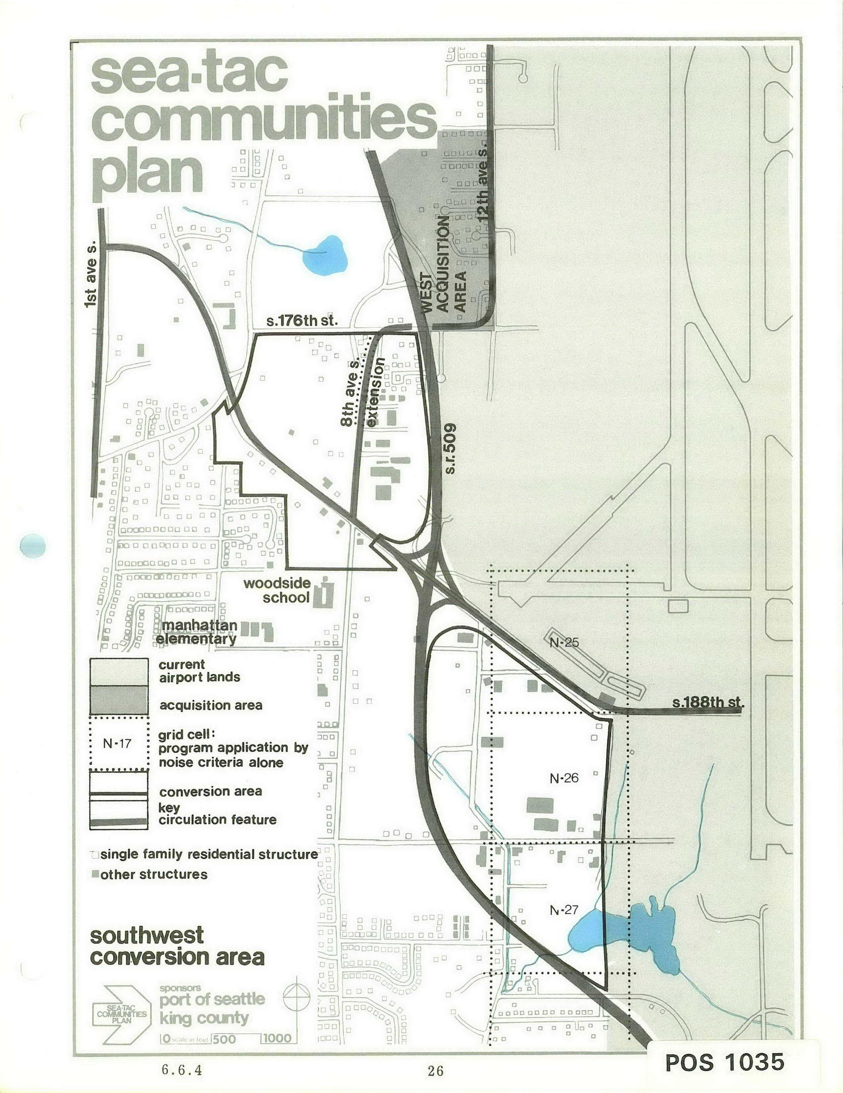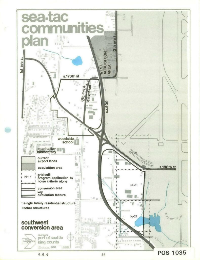
A planning map labeled 'Sea-Tac Communities Plan' depicting the Southwest Conversion Area near Seattle-Tacoma International Airport, showing current airport lands, acquisition areas, grid cells (N-25, N-26, N-27), key streets (S. 176th St., S. 188th St., 1st Ave S., 12th Ave S.), SR 509, the 8th Ave S. extension, and local schools (Woodside School, Manhattan Elementary). Sponsored by the Port of Seattle and King County, document reference POS 1035, page 6.6.4.Open full document
Notes
A planning map labeled ‘Sea-Tac Communities Plan’ depicting the Southwest Conversion Area near Seattle-Tacoma International Airport, showing current airport lands, acquisition areas, grid cells (N-25, N-26, N-27), key streets (S. 176th St., S. 188th St., 1st Ave S., 12th Ave S.), SR 509, the 8th Ave S. extension, and local schools (Woodside School, Manhattan Elementary). Sponsored by the Port of Seattle and King County, document reference POS 1035, page 6.6.4.