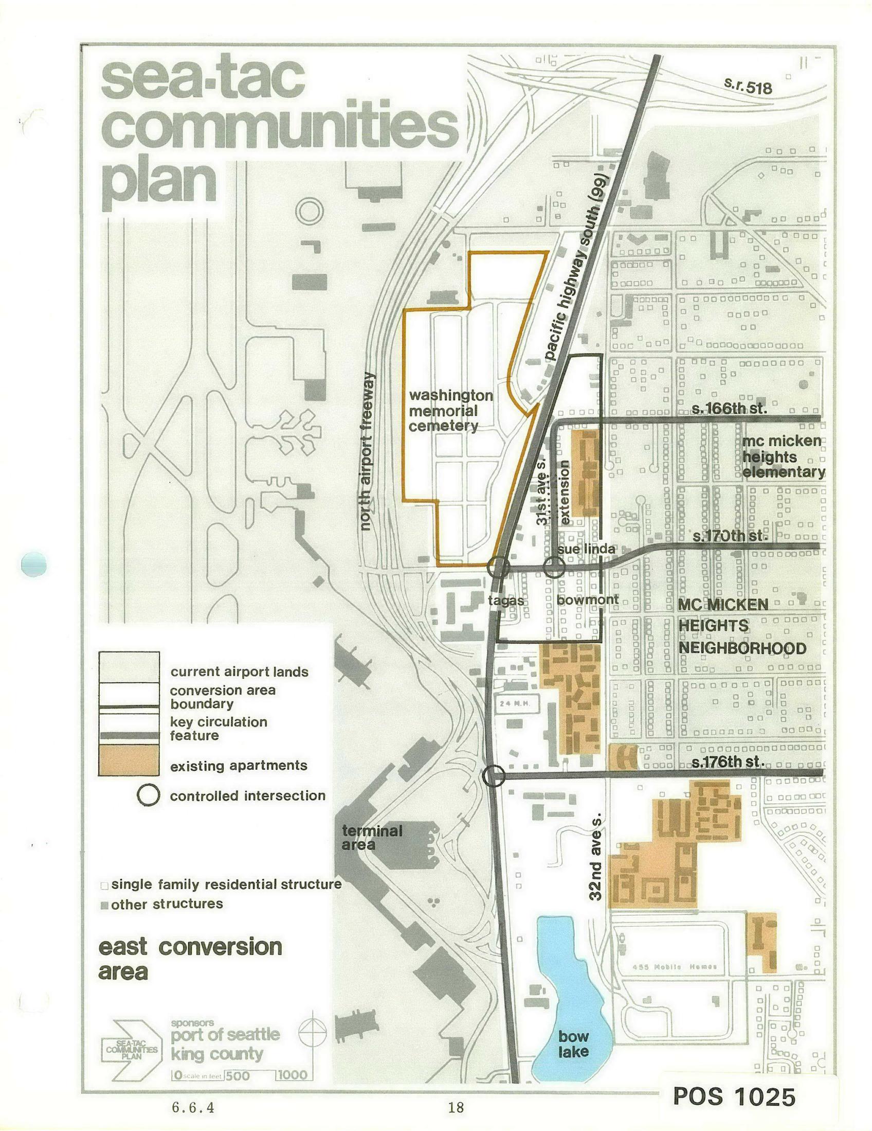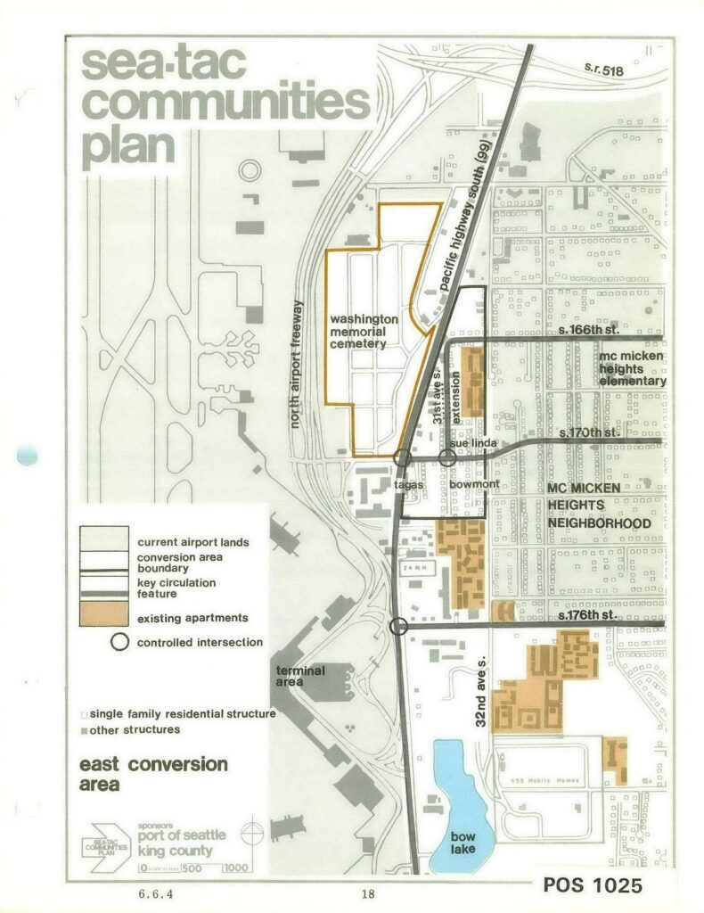
Planning map labeled 'Sea-Tac Communities Plan – East Conversion Area,' document number POS 1025 (page 18, section 6.6.4), sponsored by the Port of Seattle and King County. The map depicts the area east of Sea-Tac Airport bounded by S.R. 518 to the north and Bow Lake to the south, showing current airport lands, conversion area boundaries, existing apartments, controlled intersections, and key streets including Pacific Highway South (99), S. 166th St., S. 170th St., and S. 176th St., with labeled features including Washington Memorial Cemetery and the Mc Micken Heights Neighborhood.Open full document
Notes
Planning map labeled ‘Sea-Tac Communities Plan – East Conversion Area,’ document number POS 1025 (page 18, section 6.6.4), sponsored by the Port of Seattle and King County. The map depicts the area east of Sea-Tac Airport bounded by S.R. 518 to the north and Bow Lake to the south, showing current airport lands, conversion area boundaries, existing apartments, controlled intersections, and key streets including Pacific Highway South (99), S. 166th St., S. 170th St., and S. 176th St., with labeled features including Washington Memorial Cemetery and the Mc Micken Heights Neighborhood.