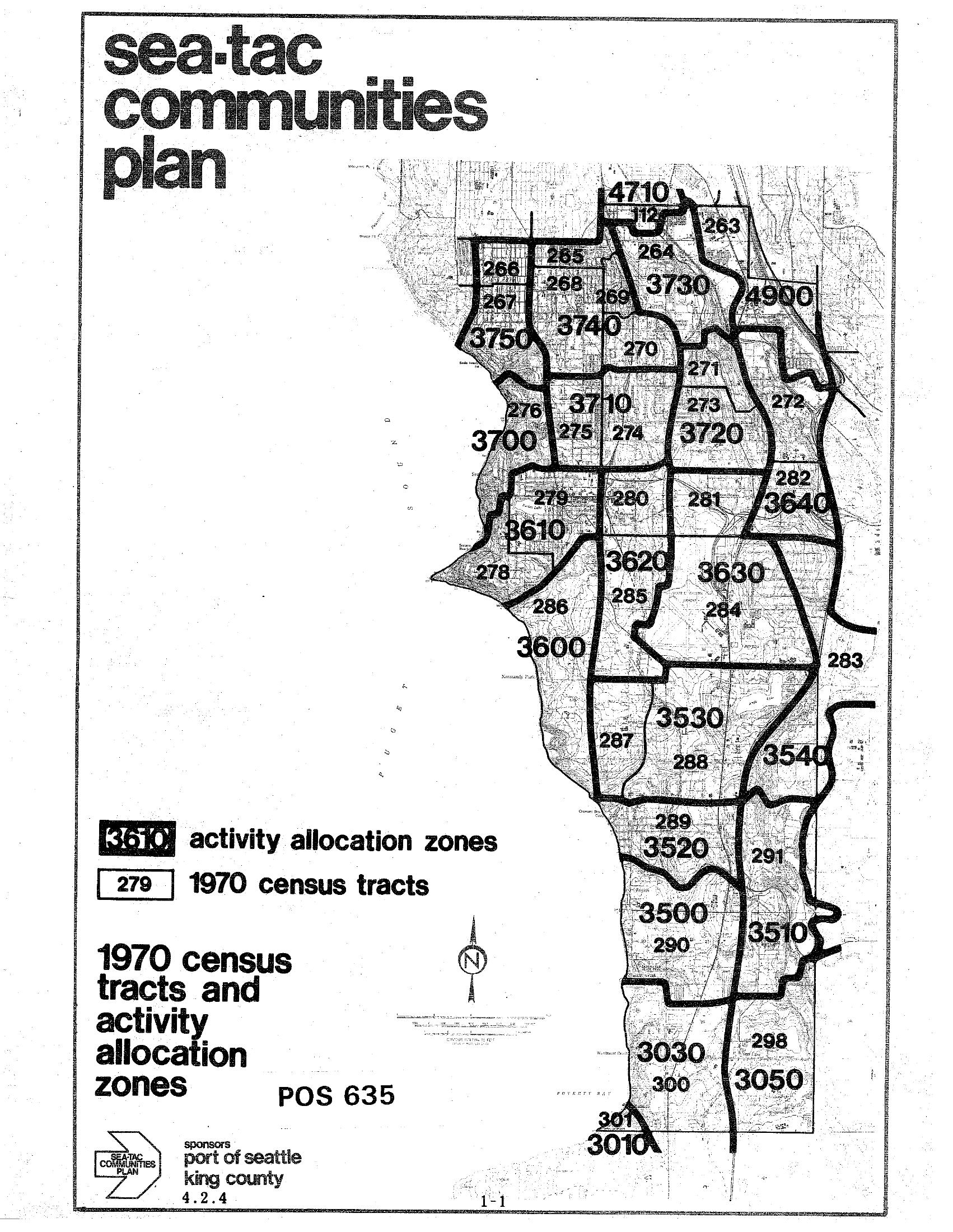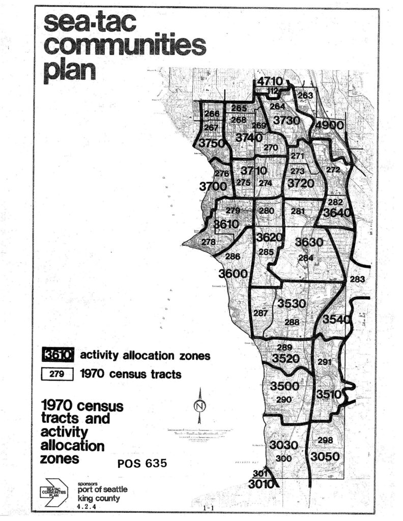
A map from the Sea-Tac Communities Plan (document reference POS 635, page 1-1) showing 1970 census tracts and activity allocation zones for the Sea-Tac area. The plan was sponsored by the Port of Seattle and King County, and displays numbered zones (e.g., 3610, 3720, 3740) overlaid on census tract boundaries.Open full document
Notes
A map from the Sea-Tac Communities Plan (document reference POS 635, page 1-1) showing 1970 census tracts and activity allocation zones for the Sea-Tac area. The plan was sponsored by the Port of Seattle and King County, and displays numbered zones (e.g., 3610, 3720, 3740) overlaid on census tract boundaries.