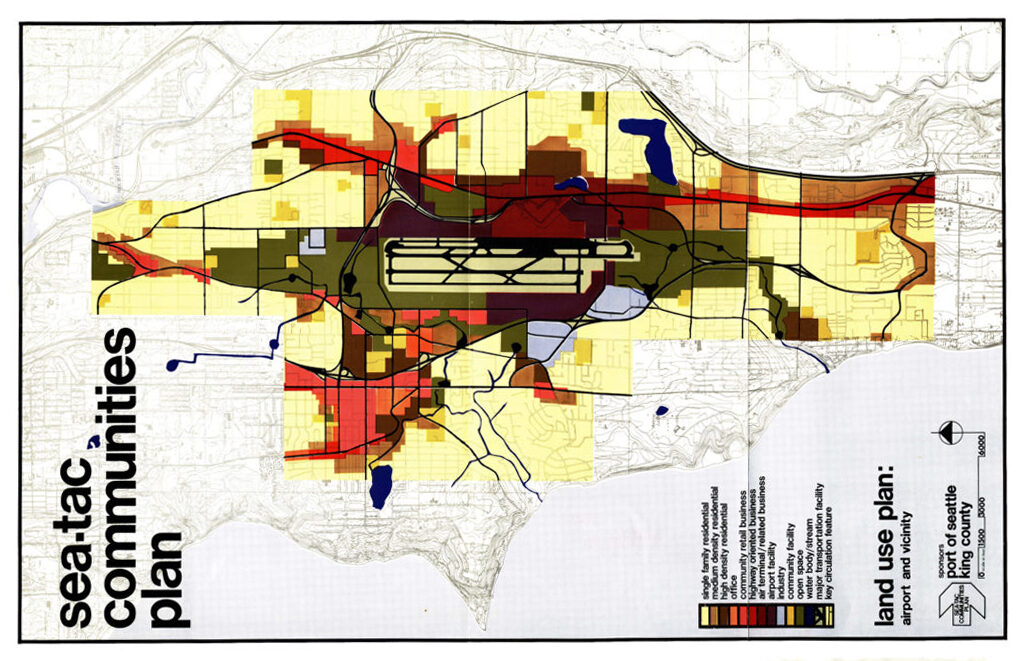
A color-coded land use planning map produced by the Port of Seattle and King County as part of the Sea-Tac Communities Plan, showing zoning categories (residential, commercial, office, airport facility, open space, and circulation features) in the airport vicinity. The legend identifies uses including single-family residential, high-density residential, highway-oriented retail, air terminal/related business, community facility, open body/stream, major transportation facility, and key circulation features.Open full document
Notes
A color-coded land use planning map produced by the Port of Seattle and King County as part of the Sea-Tac Communities Plan, showing zoning categories (residential, commercial, office, airport facility, open space, and circulation features) in the airport vicinity. The legend identifies uses including single-family residential, high-density residential, highway-oriented retail, air terminal/related business, community facility, open body/stream, major transportation facility, and key circulation features.