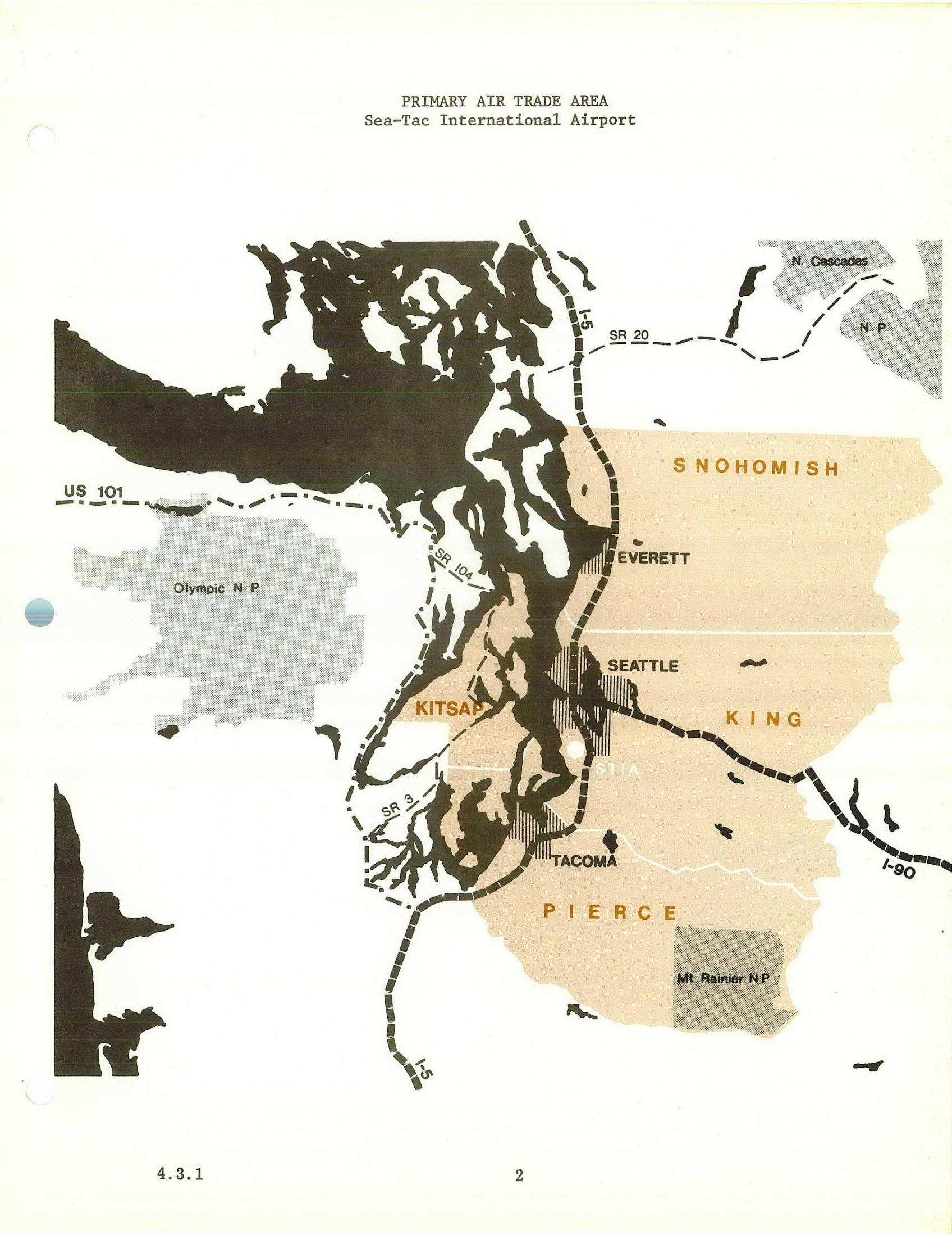
A planning map labeled 'PRIMARY AIR TRADE AREA – Sea-Tac International Airport' (document reference 4.3.1, page 2) delineating the primary air trade catchment zone in tan/orange shading across Snohomish, King, and Pierce counties, with Kitsap County partially included. Major highways (I-5, I-90, US 101, SR 20, SR 104, SR 3) and cities (Seattle, Tacoma, Everett) are marked, along with national parks (Olympic NP, Mt. Rainier NP, N. Cascades NP) shown as excluded areas.Open full document
Notes
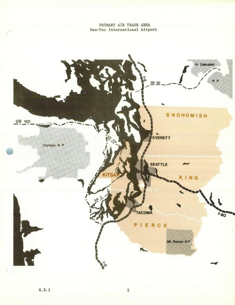
A planning map labeled ‘PRIMARY AIR TRADE AREA – Sea-Tac International Airport’ (document reference 4.3.1, page 2) delineating the primary air trade catchment zone in tan/orange shading across Snohomish, King, and Pierce counties, with Kitsap County partially included. Major highways (I-5, I-90, US 101, SR 20, SR 104, SR 3) and cities (Seattle, Tacoma, Everett) are marked, along with national parks (Olympic NP, Mt. Rainier NP, N. Cascades NP) shown as excluded areas.